This course is now closed for bookings
Find our full listing of courses here
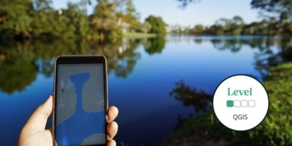
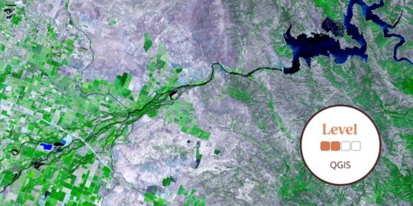
This introductory online QGIS course will introduce GIS and how it works, as well as an introduction to QGIS as an open software option.
Geographical Information Systems (GIS) underpin much of our modern life, from navigation to social media. The ability to gather, manage and analyse spatial data is an incredibly valuable skill.
During this course, there will be very little actual use of QGIS in this course, but you will learn the background knowledge to enable you to quickly get to grips with QGIS in future courses.
Level descriptors can be found on the following webpage: Framework and Course Level Descriptors
This is a 2-week online course covering 2 topics, for which you will complete a variety of self-led online study content, activities, assignments and live Zoom sessions. Time commitment is approximately 2-3 hours a week and an e-certificate is provided upon completion. Understand how our online courses are delivered.
Who Should Attend?
Nature enthusiasts, Students, Rangers, Early career ecologists.
Knowledge Level
Introductory. Level descriptors can be found on the following webpage: Framework and Course Level Descriptors
Prior Knowledge
No existing knowledge, or experience is needed for this course. Just a willingness to explore and learn.
Recommended Devices
It is recommended that you access your course through a PC or laptop. Please be aware that there will be reduced functionality if you decide to access the course through a tablet or smartphone. The Field Studies Council is unable to email content directly to you.
This course will cover:
-
- What is QGIS?
- Introduction to QGIS files and coordinate systems
By the end of the course, you will be able to:
-
- Understand what GIS is, what QGIS does, how open software works, and how to install QGIS Identify examples of specific animals from their tracks and signs.
- Identify the different file types used by QGIS, such as vectors and rasters, and understand different coordinate systems.
- Share this knowledge with friends, family, and fellow volunteers.
Please note that bookings will close at 9 am on Monday 11th July to allow for all participants to be enrolled to the online platform – bookings will not be taken after this time.*
* Bookings will close sooner if course capacity is reached
The course gives you the opportunity to immerse yourself in a new subject and acquire novel skills. Our online portal gives you time to study at your own pace and fit the lessons around your own schedule.
- See the ‘Example Timetable’ and ‘What’s Included’ sections below for more information about this course.
- Each individual needs to place their own order to ensure we can sign you up to the learning platform and give you access to resources.
- Please email [email protected] if you have any questions.
Group Bookings Made Easy
If you have a group of 10 or more individuals wanting to complete one of our courses, our team are available to discuss your options – from discounts to private team courses.
- Discounted rates
- Privately run courses for your group
- Bespoke courses developed specifically for your needs
Live Webinar Information
The webinars will take place on the following dates at 6:30 pm (BST):
-
- Thursday 21st July at 6:30 - 7:15 pm
- Thursday 28th July at 6:30 - 7:15 pm
Please note - webinars will be recorded and uploaded to the virtual learning platform for learners unable to attend.
Example Timetable
Timetable
Week 1: GIS01 - What is GIS?
Self-study material available: 14/07/2022
Week 1 Live Webinar: 21/07/2022 at 6:30 pm
Week 2: GIS02 - Introduction to QGIS files and coordinate systems
Self-study material available: 21/07/2022
Week 1 Live Webinar: 28/07/2022 at 6:30 pm
The final deadline to complete any outstanding activities and self-study components is 11/08/2022.
Time commitment: This course will require approximately 2-3 hours of your time each week. This includes covering course materials on our Moodle learning platform and the Zoom session.
What's Included
-
 Expert Tuition
The course has been carefully created to help you continue to build on your knowledge as the course progresses. With content crafted to the online Moodle Platform and bespoke to the Field Studies Council.
The course includes:
-
- 45-minute interactive Zoom workshops to connect with the tutor and other participants
- Personalised feedback on a marked assignment
- Expert tuition for which the Field Studies Council is renowned
- Activities to work on independently in advance of each Zoom workshop
- Tailored course completion certificate
Once registered, you will follow well-illustrated, user-friendly ’books’ to pick up knowledge. Quizzes and skill-checks will give you instant feedback on your learning. Forums give students the chance to interact with each other as well as a place to share work.
You can rest assured that the absolute best content from an expert in environmental education will be at your fingertips. In choosing a Field Studies Council course, you will be joining thousands of people who learn with us each year.
Before You Attend
Accessing Your Course
- Once you sign up you’ll receive an email at least 24 hours in advance of the course opening with details of how to access our easy-to-use platform, Moodle.
- Moodle can be accessed through a browser or an app.
- Webinars are via Zoom so you won’t need any new software to attend
Recommended Devices
It is recommended that you access your course through a PC or laptop. Please be aware that there will be reduced functionality if you decide to access the course through a tablet or smartphone. The Field Studies Council is unable to email content directly to you.
Sorry this course has ended