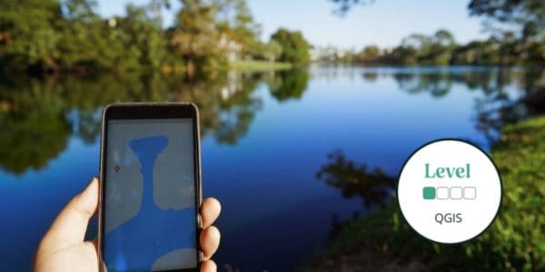
This beginner-intermediate course will provide you with the skills needed to work with spatial data, to view it, edit and map it. These skills are important in understanding where and when you can find key species and habitats, exploring how your data fits into the landscape and creating solutions that will help biodiversity thrive.
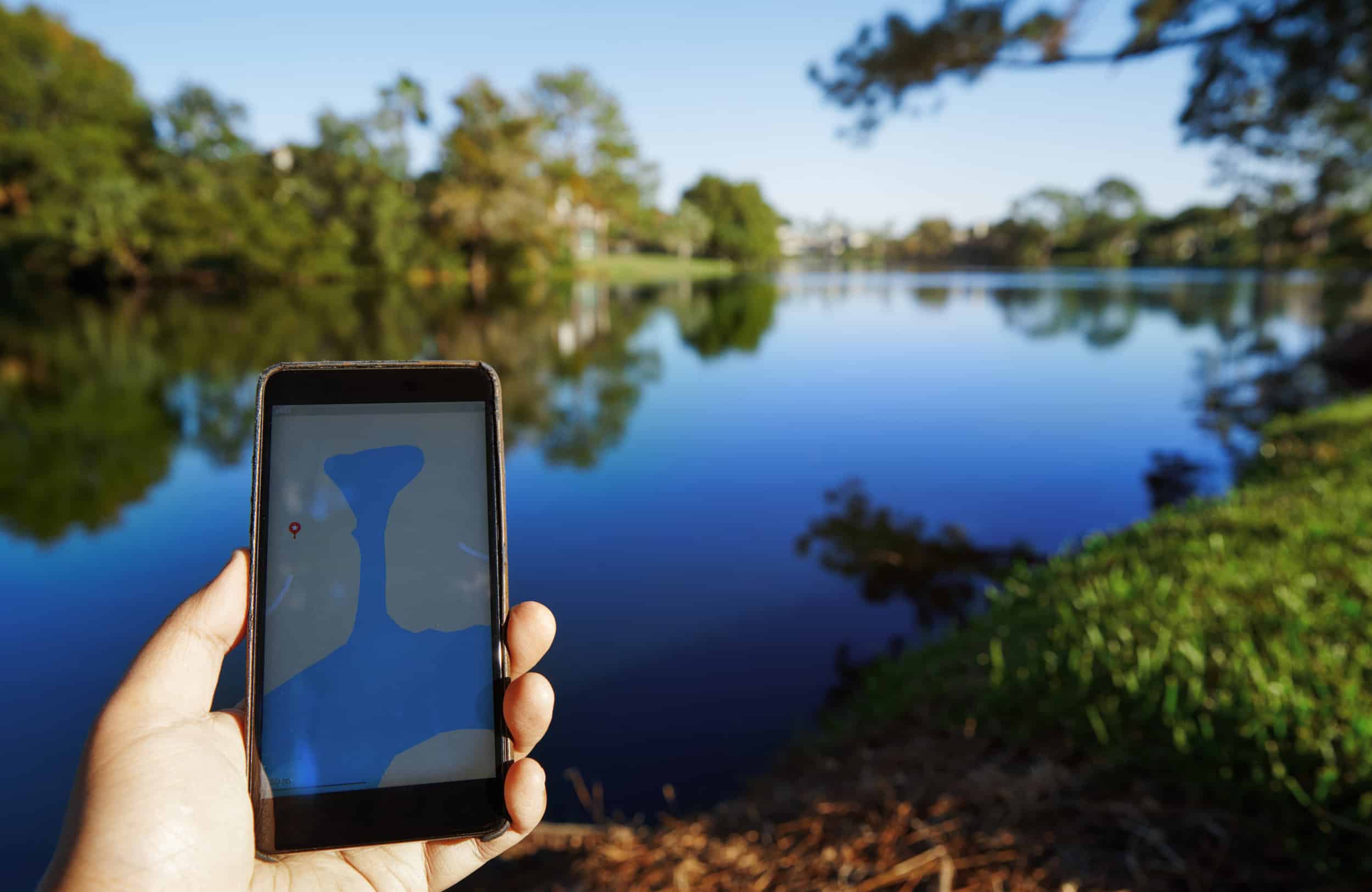
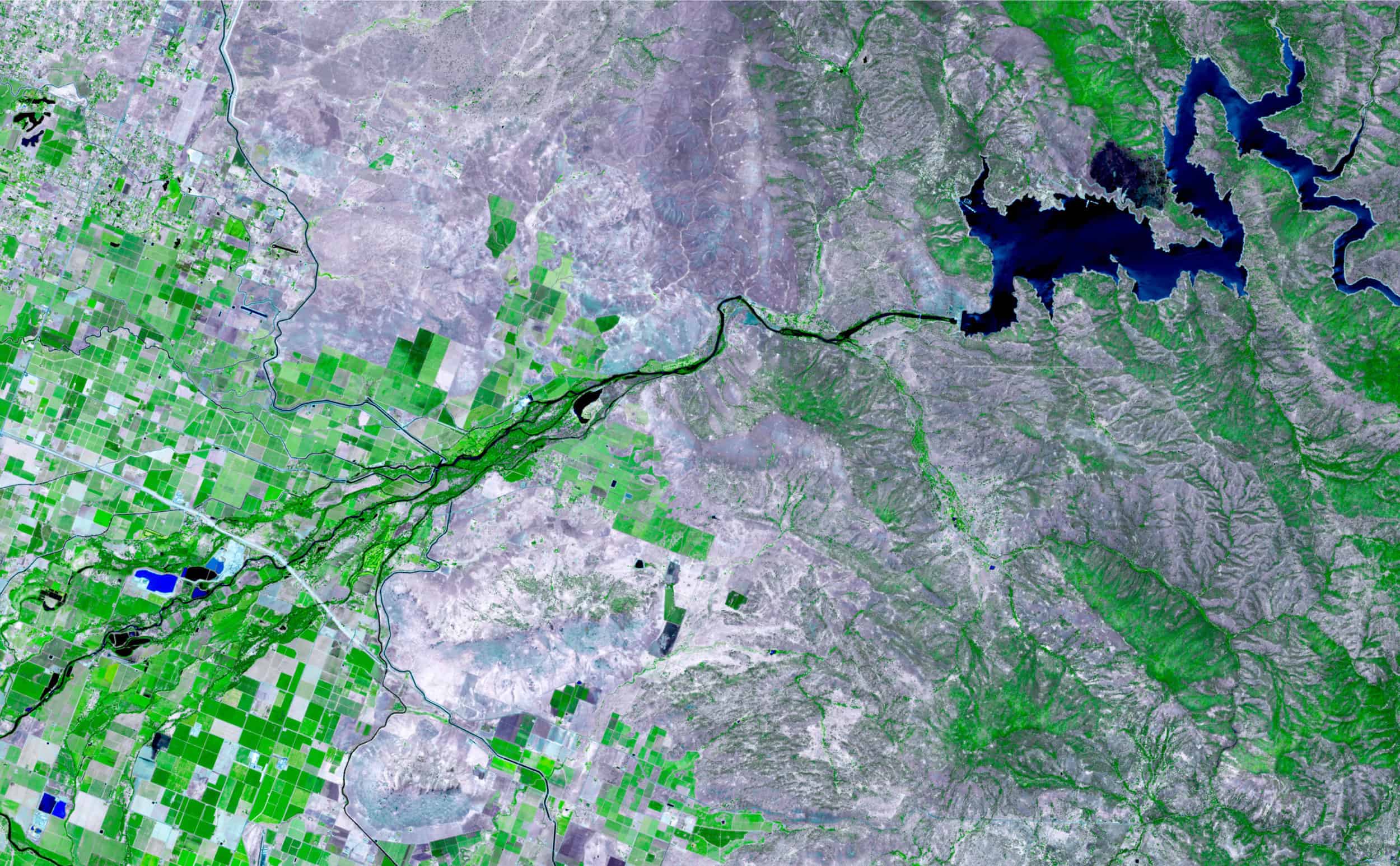
Geographic Information Systems (GIS) are an increasingly important tool in ecology and nature conservation. Spatial data is vital in understanding the complexity of ecosystems and in our efforts to deliver nature’s recovery.
This course will cover:
- Loading data into QGIS to view
- Sourcing other open data for your projects
- Styling and editing data
- Creating maps
- Querying data to help answer key ecological questions
Read More
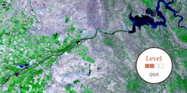
QGIS is a powerful free, open source desktop GIS increasingly used in environmental organisations. This course will provide an introduction to both GIS and QGIS and give participants the skills to view, edit and map spatial data.
By the end of the course, you will:
- Be able to work better in QGIS
- Be familiar with key tools and functionality
- Be able to create, view, and map spatial data
Who Should Attend? – This course is for anyone who wants to create, view or map spatial data, whether for personal or professional reasons.
Knowledge Level – Beginner-Intermediate. Level descriptors can be found on the following web-page: Framework and Course Level Descriptors
Prior Knowledge – Participants will be required to have good general computer skills, such as knowing how to open and close software and apps, and where files and data are stored.
PLEASE NOTE: There is no accommodation, refreshments, or meal facilities included in the course price. If we are unable to reach viable numbers for this course, we will inform you of the course cancellation 4-5 weeks prior to the course run. We would recommend when purchasing accommodation and/or travel you should take out your own insurance.
Bookings will close if course capacity is reached.
Please email [email protected] if you have any questions.
About the Tutor
Dan Carpenter
Dan Carpenter is an ecologist and environmental data scientist interested in using environmental data to support evidence-based decision making. Good data are the foundations of good decisions and much of Dan’s work is about turning good data into evidence to support those decisions.
Dan has a BSc (Hons.) in Wildlife Conservation (University of East London) and a PhD in Soil Science (University of Reading). He has worked in academic research, local government, NGOs and the private sector. Dan is a Chartered Environmentalist (CEnv).
Example Timetable
Example Timetable
This timetable is subject to change but should give a clear outline of what to expect.
- Please arrive in time for the course to start promptly at 10:00
- The course will end at 17:00
Day 1
- Intro to GIS and spatial data
- Setting up QGIS, key settings, tour of the user interface
- Basemaps
- Sources of data
- Adding data, saving data, data management advice
- Styling data
- Making maps
Day 2
- Creating data
- Selections and queries
- Geoprocessing
Please note - accommodation, refreshments, and an evening meal are not included in the course price. You will need to bring your own lunch to the course.
What's Included
-
 Expert Tuition
The course has been carefully created by expert tutors and educators to help you build your knowledge and apply it within the field surrounded by like-minded individuals.
The course includes:
- Classroom learning covering the theory of the species
- Field excursions to apply new knowledge
- Expert tuition for which the Field Studies Council is renowned
- Clear objectives and progression
You can rest assured that the absolute best content from an expert in environmental education will be provided. In choosing a Field Studies Council course, you will be joining thousands of people who learn with us each year.
Bursaries and Subsidies
Student Discount
This course is eligible for a student discount. If you are a current student, please use discount code BioStudent20 at checkout for 20% off all Biodiversity courses.
Natural History Bursaries
There are a number of natural history bursaries available to help with the cost of your course. To find out if you and your chosen course are eligible, read more here.
Before You Attend
What to Bring
- Notebook and pencil
- Lunch and refreshments
- Laptop
There will be a member of staff with first aid training and access to a first aid kit on site. If you have special medical or access requirements, please let us know as soon as possible so we can plan the course.
Opportunities to attend this course
This course is not currently available to book. Dates will follow soon.
Sign up to our Email Newsletter
Progress Your Learning
This is a training course from the Field Studies Council, delivered by expert tutors with an approachable learning style. After attending this course, you may like to progress your learning with further relevant courses or branch out into other areas of natural history. The Field Studies Council offers both online and in person courses, so you can choose the learning style that suits you best.
The course gives you the opportunity to immerse yourself in a new subject and acquire novel skills. Our online portal gives you time to study at your own pace and fit the lessons around your own schedule.
If you have any questions about our courses please check our Frequently Asked Questions or email [email protected].
Group Bookings Made Easy
If you have a group of 10 or more individuals wanting to complete one of our courses, our team are available to discuss your options – from discounts to private team courses. Find out more!
You can rest assured that the absolute best content from an expert in environmental education will be at your fingertips. In choosing a Field Studies Council course, you will be joining thousands of people who learn with us each year.