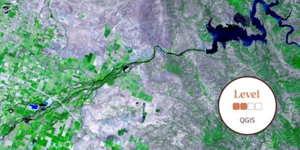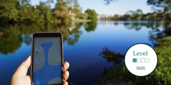
This beginner online QGIS course will teach you how to use the QGIS interface and begin to build, style, and present maps.
Geographical Information Systems (GIS) underpin much of our modern life, from navigation to social media. The ability to utilise GIS is becoming essential for many jobs, including ecologists, engineers, educators, emergency services, and many, many more.
In this course, we discover the basics of using QGIS in the context of environmental information. This course will take you through each step at an easy and accessible pace. With the support of our expert tutor, you will become confident with the QGIS interface, allowing you to build, style, and present maps.
Tutor: Eleri Kent
Eleri Kent is a PhD student with a background in landscape ecology. She is currently researching the effects of landscape context on woodland use by bats at Stirling University, as part of which she regularly uses QGIS for data manipulation, mapping and analysis. Eleri also has a background in outdoor education which led to an interest in teaching and outreach.
What's Included
-
 Expert Tuition
Sorry this course booking is closed