Phase 1 survey guide: Heaths and mires
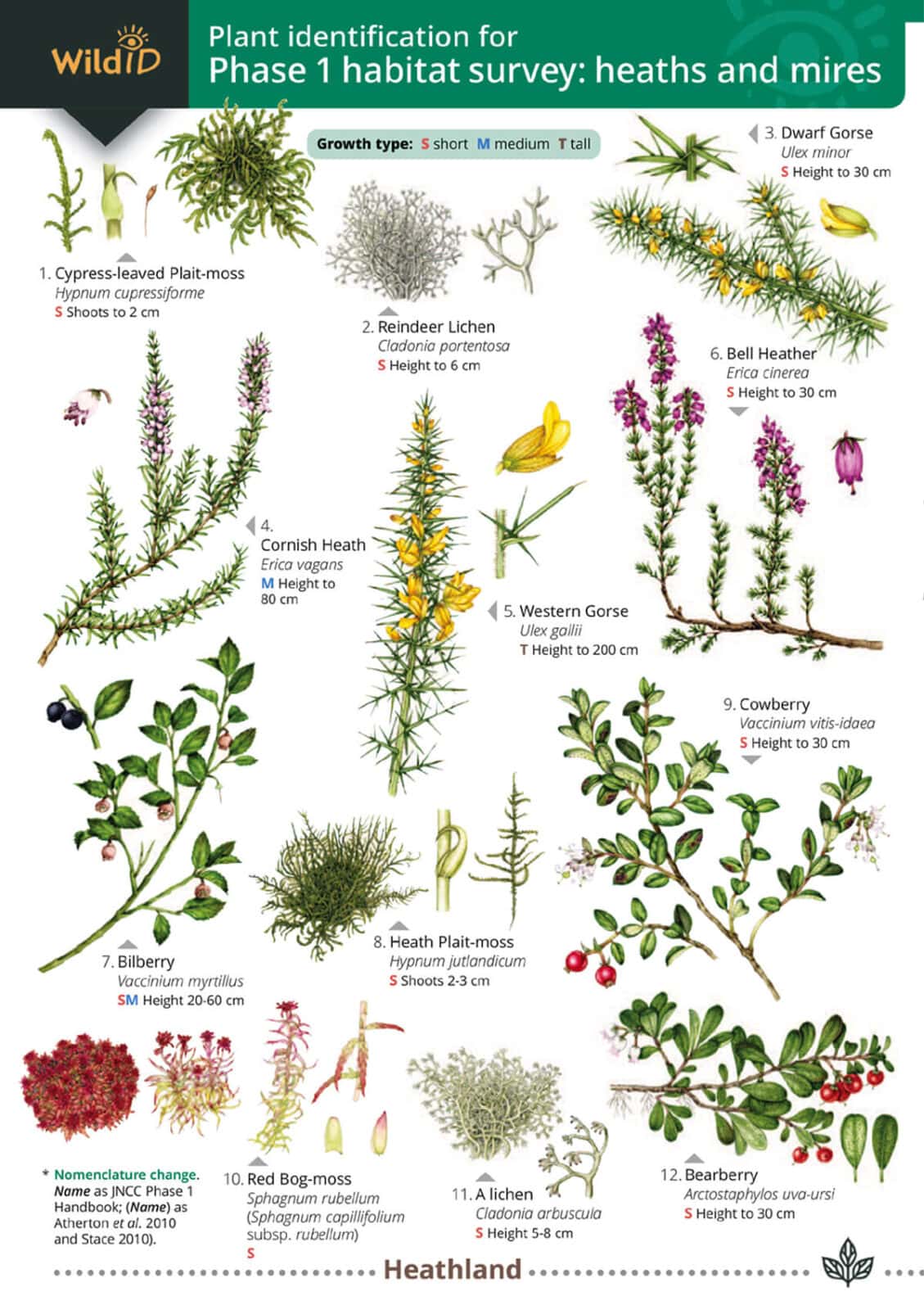
This guide will help you carry out a Phase 1 habitat survey in heath and mire habitats. There are 62 indicator species, following the guidelines set out in the JNCC Handbook.
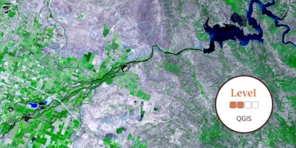
Phase 1 habitat survey is a standardised system of recording semi-natural vegetation and other habitats. It provides an audit of semi-natural vegetation over large areas of countryside. Above all these surveys help with the assessment of a site’s conservation importance. The end product is a map of habitats and a table of their areas.
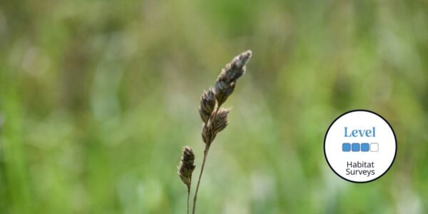
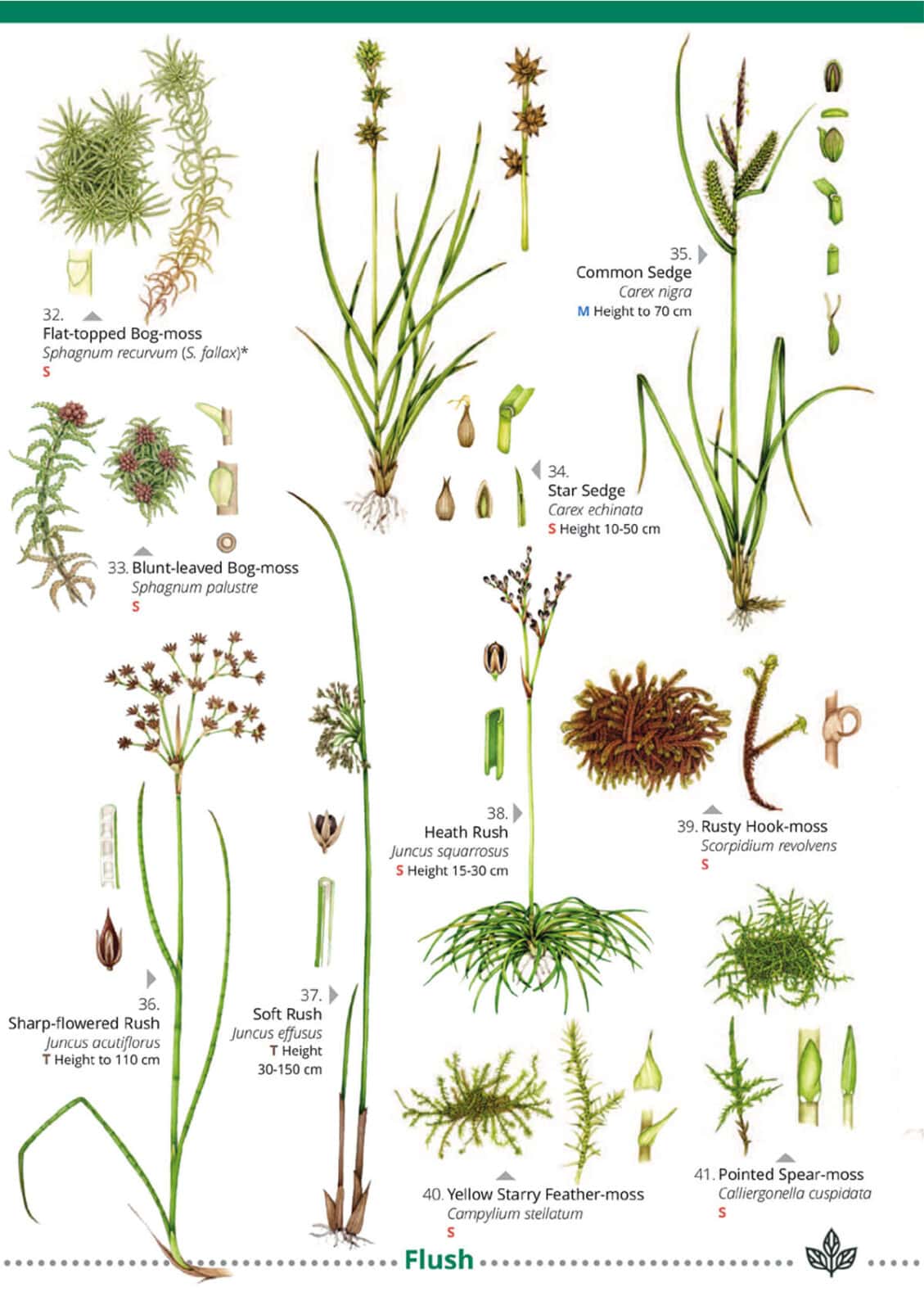
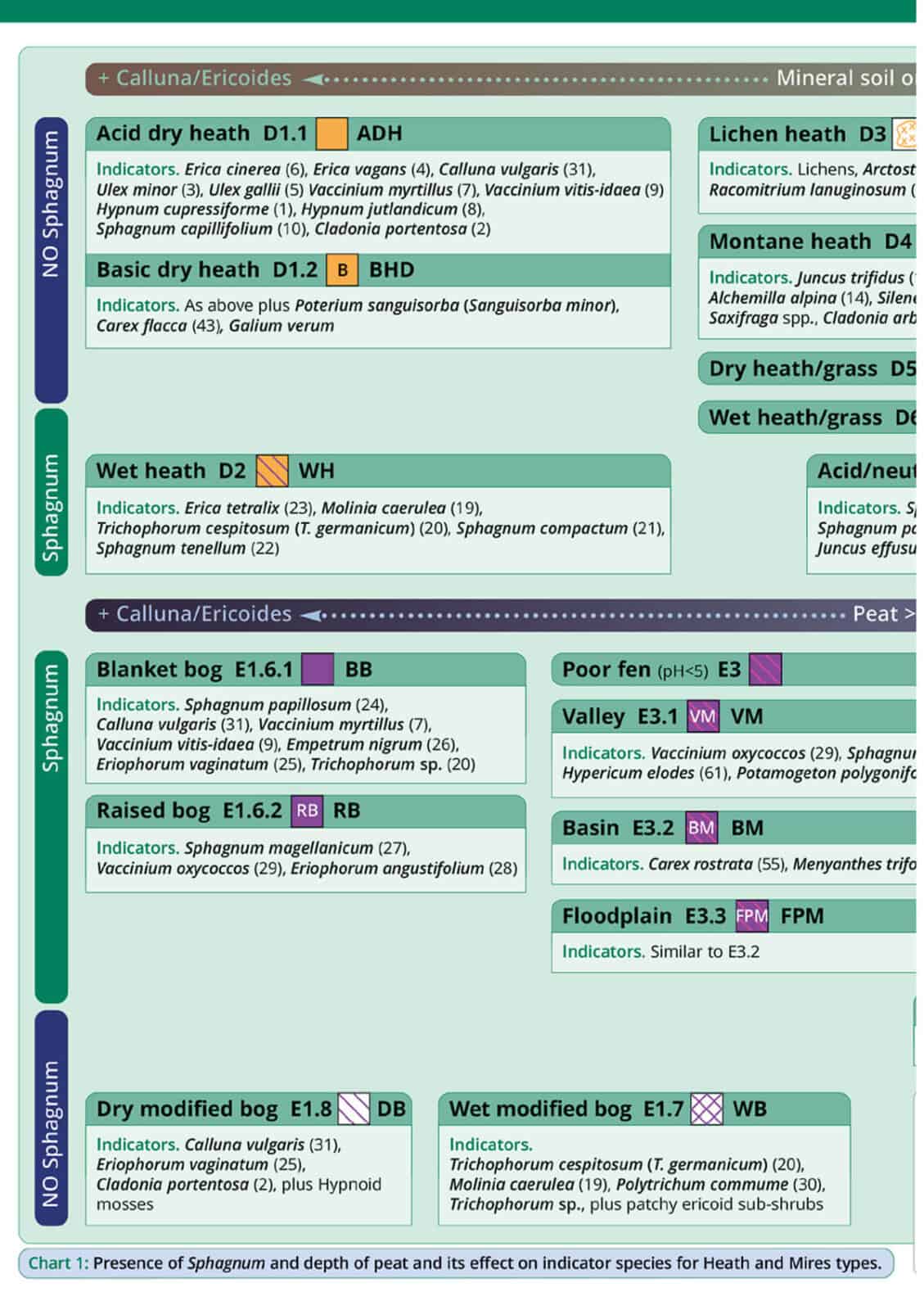
Unlike grasslands, the principal indicator species here are sedges, heathers, gorse species and bryophytes. So this guide includes a table grouping indicator species by heath and mire type. A key abiotic factor is the depth of peat. Drier habitats support heath, of which there are six principal categories. By contrast wetter habitats support mires, broadly divided into bogs, flushes and fens.
The Phase 1 habitat classification is based on 155 specific habitat codes. They define everything from broadleaved woodland, grassland and mires to amenity grassland, golf courses, quarries and built-up areas. Originally designed for rapid survey of extensive areas, the recommended scale of survey is 1:10 000. At this scale the JNCC handbook indicates a survey rate of between 1 and 6.5 square kilometres a day. The use of the system for smaller scale surveys (e.g. for farm stewardship or planning applications) often requires mapping at a much larger scale. County Wildlife Trusts and councils use Phase 1 surveys to obtain an audit of habitats of conservation interest in a region. Moreover Phase 1 surveys have recently become the standard minimum requirement of planning applications.