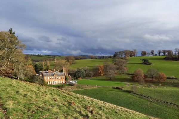
Nettlecombe Court offers a wide range of curriculum‑linked fieldwork opportunities across multiple subjects, set within a varied upland, woodland and lowland landscape in Somerset, South West England.
Located on the edge of Exmoor National Park, close to Williton, Watchet and the West Somerset coast, the surrounding area provides access to diverse fieldwork environments including woodland, rivers, upland farmland, soils, parkland and rural settlements. These field sites support studies in geography, biology, environmental science and outdoor learning, enabling students to investigate ecosystems, succession, river processes, land use, sustainability and human–environment interactions through first‑hand data collection.

By combining accessible local field sites with expert tuition and on‑site accommodation, Nettlecombe Court enables schools to maximise learning time while delivering rigorous, syllabus‑linked fieldwork. Whether schools are visiting from nearby towns or travelling from further afield, the centre offers a flexible, well‑located base for geography, biology and environmental science fieldwork.
Explore the field sites used at Nettlecombe Court
An example of our sites are set out below. *When transport is required for offsite fieldwork, additional in-course costs are incurred and clearly stated in your programme.
Nettlecombe Estate
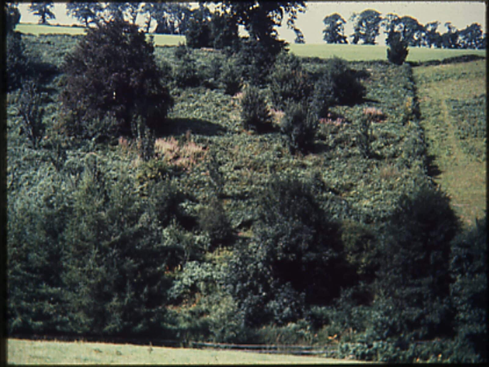
The Nettlecombe Estate surrounds the centre itself and sits within a sheltered valley landscape on the eastern edge of Exmoor National Park in Somerset. Woodlands, grasslands, streams and ponds lie within easy walking distance, allowing students to investigate hydrology, carbon storage, soils, biodiversity and ecosystem processes without travel. This makes the estate particularly well suited to immersive fieldwork, skills development and independent investigations across geography, biology and environmental science.
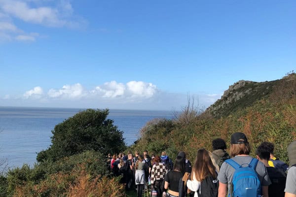
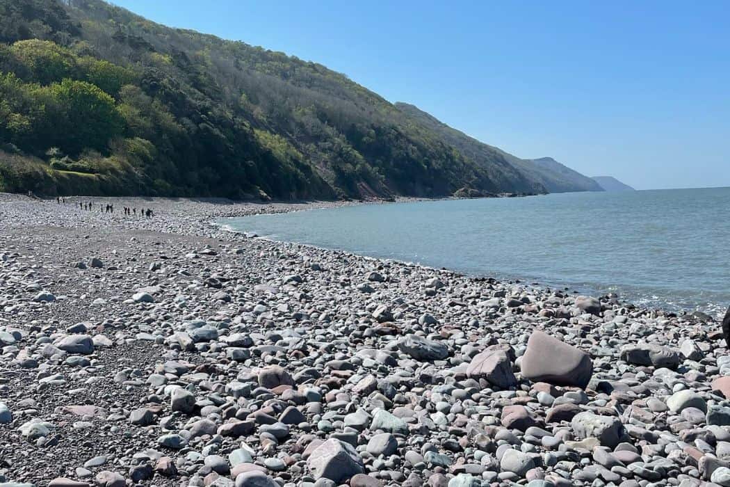
Porlock Bay and Porlock Weir
Located on the West Somerset coast, Porlock Bay is internationally recognised for its managed realignment scheme and resulting shingle ridge and salt marsh development. The site enables students to explore coastal processes, management decisions and ecological succession within a single, highly dynamic landscape. It is especially valuable for GCSE and A‑level investigations into coastal systems, sustainability and human–environment interactions.
“Porlock Bay was an excellent resource for the geography teaching.”
– Teacher, Beechwood Park – 2025
Minehead
Minehead is a traditional seaside town approximately 20 minutes from Nettlecombe Court, combining a defended coastline with a strong tourism economy. The town provides clear opportunities to evaluate coastal management strategies, assess regeneration and investigate how place and identity shape coastal settlements. Its accessibility and variety make it well suited to human geography fieldwork at both GCSE and A level.
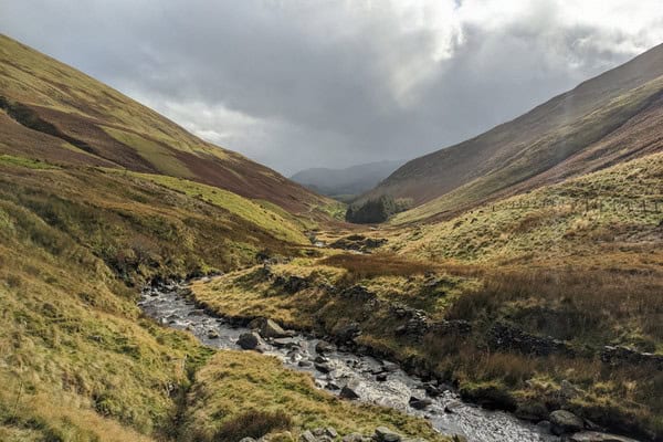
River Holford
The River Holford drains the Quantock Hills and offers an ideal site for river fieldwork. Students can measure channel characteristics, discharge and velocity across multiple sites to investigate downstream change and flood risk. The river is commonly used for physical geography enquiries that require clear contrasts over a short distance.
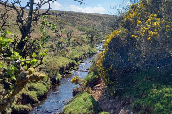
Woodford Meanders
Within walking distance of Nettlecombe Court, Woodford Meanders provides a local stream environment featuring well‑defined meanders and accessible channel features. Its proximity allows students to focus on fieldwork techniques and data quality rather than travel logistics. The site is particularly effective for introductory river studies, freshwater ecology and skills‑based investigations.
Quantock Hills
The Quantock Hills National Landscape lies a short distance from the centre and supports extensive moorland habitats shaped by long‑term land management. Students investigate succession, biodiversity and ecosystem management, examining how controlled burning and grazing influence vegetation and soils. The site supports both ecological and geographical enquiries into sustainable land use and ecosystems under stress.
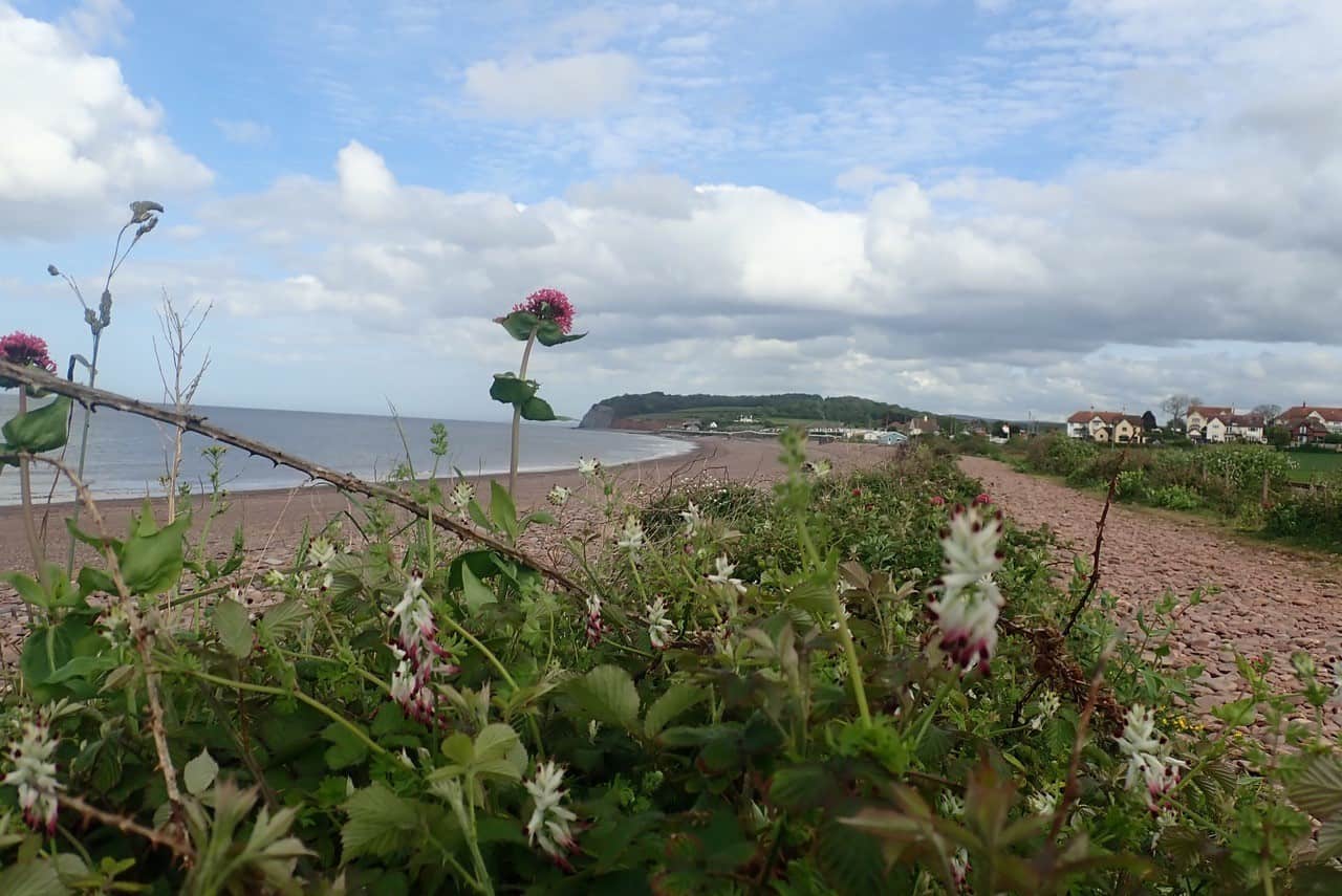
Watchet
Watchet is a small harbour town on the Somerset coast with a history of industrial change and recent regeneration initiatives. Its compact layout allows students to explore rural and coastal change, place identity and economic transition within a single settlement. The town is frequently used for place studies and regeneration enquiries at GCSE and A level.
Taunton
As Somerset’s county town, Taunton provides a contrasting urban environment to the rural and coastal settings near Nettlecombe. Students investigate urban change, regeneration, inequality and quality of life by comparing different areas within the town. The site is particularly valuable for human geography fieldwork linked to urban issues and contemporary place studies.
Braunton Burrows
Braunton Burrows, located on the North Devon coast, is the largest sand dune system in England and a UNESCO Biosphere Reserve. Students investigate dune formation, succession and biodiversity along clear environmental gradients. While travel time is longer, the site offers outstanding opportunities for advanced ecological fieldwork and comparative ecosystem studies.
Helwell Bay
Helwell Bay is a rocky shoreline on the West Somerset coast known for strong zonation patterns and abundant coastal fossils. Students explore how species distribution changes across the intertidal zone and examine adaptations to physical stress. The site supports both biological zonation studies and physical geography field sketching and observation.
How fieldwork is conducted at Nettlecombe Court
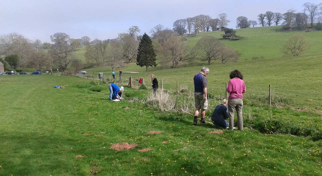
Fieldwork at Nettlecombe Court is structured around a clear route of enquiry, combining classroom learning with practical investigation in the field. Session begin with a classroom introduction where students are introduced to key concepts, terminology and fieldwork techniques. Students develop an understanding of the aims of the investigation, consider appropriate sampling methods and review risk assessments, ensuring they are prepared before entering the field.
Students then undertake fieldwork at carefully selected sites, where they apply techniques, collect primary data and make observations in real environments. This supports the development of practical skills such as measurement, sampling, identification and accurate recording.
Follow‑up sessions take place back at the centre, later in the day, enabling students to process, analyse and interpret their data. Back in the classroom, students present findings, identify patterns and apply appropriate statistical or graphical techniques. These sessions also provide opportunities to evaluate methods, consider limitations and link outcomes to theory, supporting deeper understanding.
Across a course, students progress from guided activities towards more independent enquiry. This approach builds confidence in planning, carrying out and communicating fieldwork, while developing the knowledge and skills required for geography, biology and environmental science.