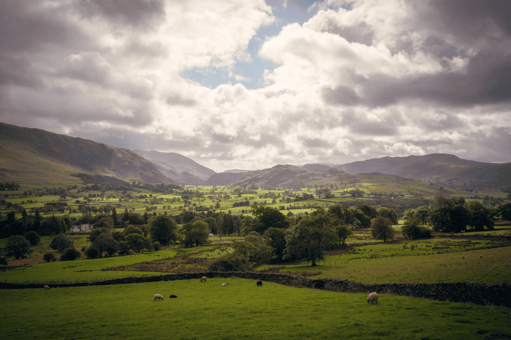
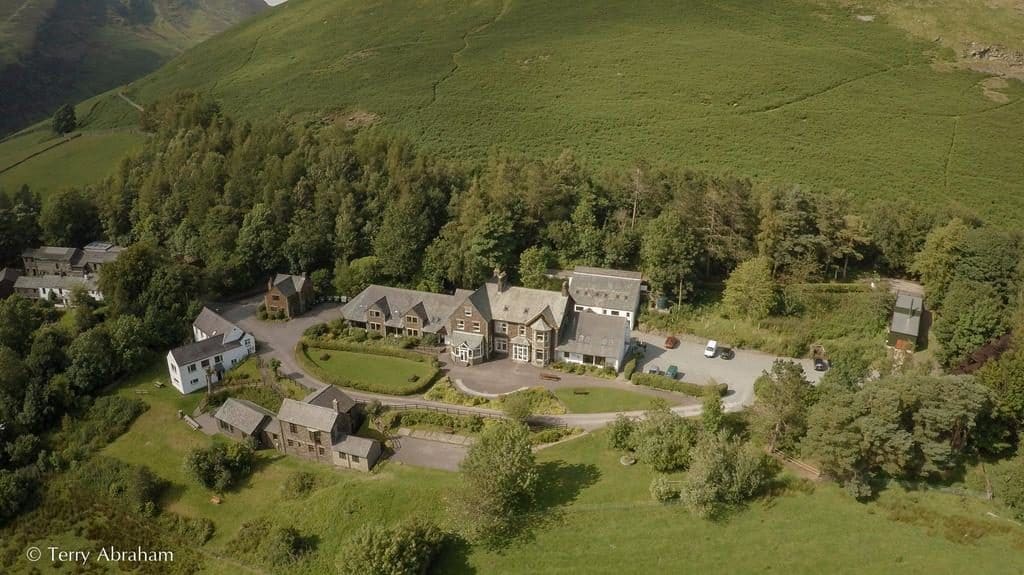
The area surrounding Blencathra provides access to a range of distinctive upland environments, including open fell, steep slopes, river valleys, upland woodland and glacial landforms. The Field Centre is located in the northern Lake District, set at the foot of Blencathra with immediate access to upland fieldwork locations directly from the centre.
Blencathra Field Centre provides immediate access to a dramatic mountain landscape shaped by glaciation, weathering and ongoing physical processes. The close proximity of contrasting environments allows students to carry out fieldwork across steep slopes, valley bottoms and upland streams within a compact study area. This setting is particularly well suited to investigations into upland landscapes, glacial processes, river systems, geology and environmental change.

These fieldwork sites support studies in geography, biology, geology and environmental science, enabling students to investigate physical processes, environmental systems and ecological patterns through first‑hand data collection. The immediate access to upland terrain supports repeated investigation, skill development and enquiry‑based fieldwork.
Explore the field sites used at Blencathra Field Centre
An example of our sites are set out below. *When transport is required for offsite fieldwork, additional in-course costs are incurred and clearly stated in your programme.
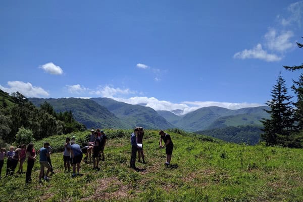
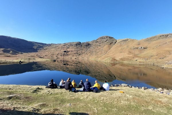
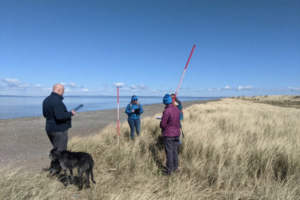
Blencathra Fell and Upland Slopes
Steep open slopes rising directly behind the centre provide immediate access to upland field sites. These are used to investigate slope processes, mass movement, weathering and landscape change. The fell setting allows students to observe how altitude, gradient and exposure influence physical processes.
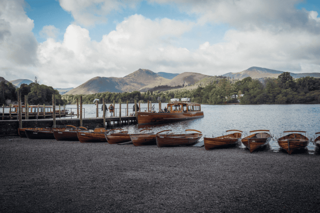
Excellent delivery of course content, a very useful introduction to tourism in the Lake District. Excellent primary data collections techniques developed and the use of GIS to analyse the data.
– Teacher Castle Rushen High School, 2025
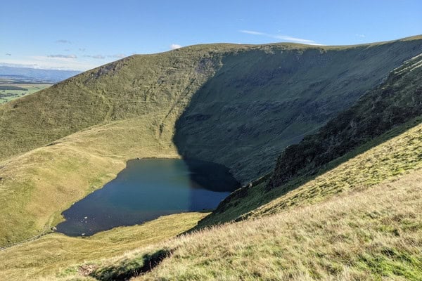
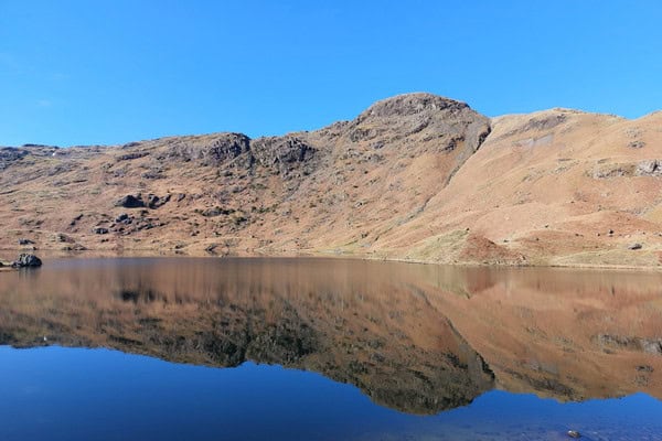
Blencathra Fell
The mountain itself is the principal named field site. Its steep slopes, ridges and summit plateau are used for upland geography and geology fieldwork, including slope processes, weathering, mass movement, altitude change and landscape evolution. Suitable across GCSE, A‑level, IB and SQA qualifications.
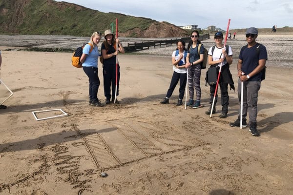
St John’s Beck
An upland river draining St John’s in the Vale, commonly used for river and hydrology fieldwork. This site supports investigations into channel characteristics, velocity, sediment transport and downstream changes, allowing students to explore river processes within an upland drainage basin.

Glenderaterra Beck
A contrasting upland river system on the western side of Blencathra. Used to compare river processes, catchment characteristics and human influence between different upland valleys.
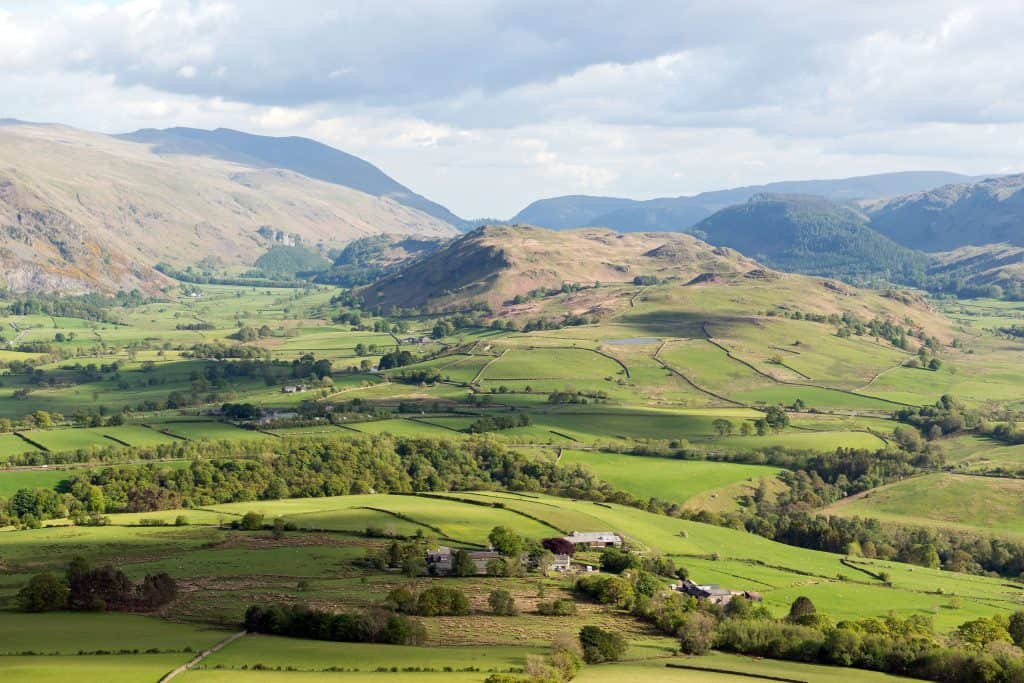
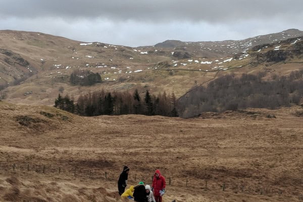
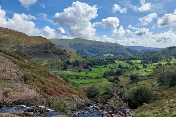
Mungrisdale Valley
An open upland valley at the northern foot of Blencathra. This site provides a broader landscape scale for studying glacial landforms, upland land use, valley profiles and human–environment interactions in a mountain environment.
“Our tutors were exceptional. The best tutors we have had on any visit we’ve been to. I’ve been taking students for 12 years and this was the best. They went above and beyond to make the course bespoke to our requirements. We will definitely be returning.”
– Teacher Middlesbrough College, 2025
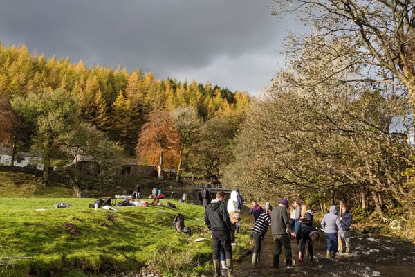
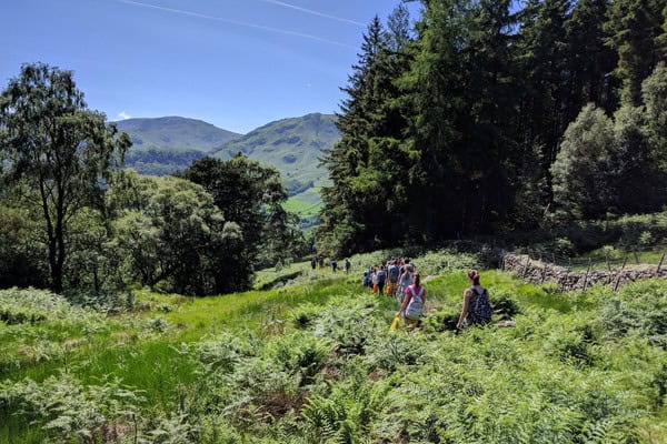
Upland woodland slopes (Lower Blencathra)
Woodland areas on the lower slopes of Blencathra are used for biological and environmental fieldwork. These sites support investigation into woodland ecology, environmental gradients, biodiversity and contrasts with open fell environments
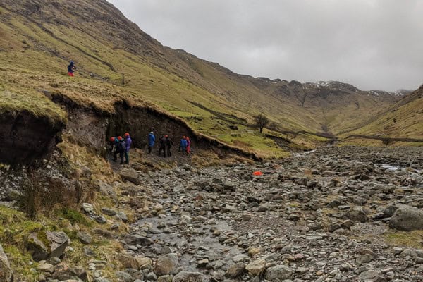
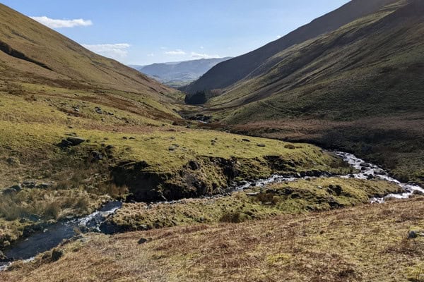
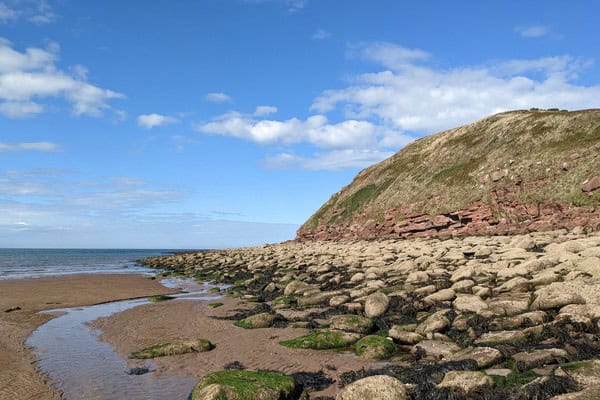
Glacial landforms and upland valleys
The surrounding landscape shows clear evidence of past glaciation, including valley shapes, corries and depositional features. These sites are used for investigating glacial systems and landscapes, supporting geography and geology fieldwork focused on landform development and landscape evolution.
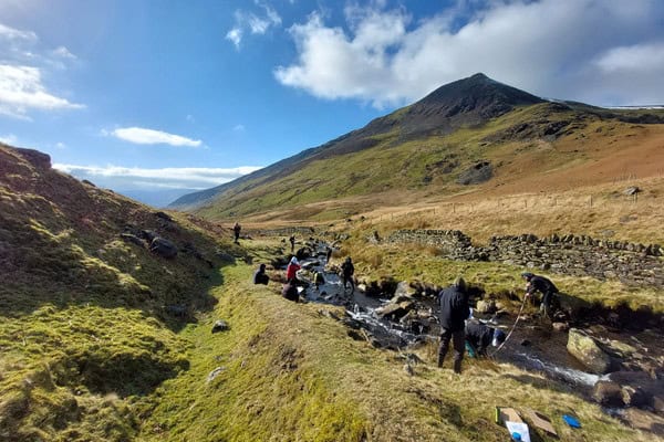
River systems
Small upland streams close to the centre provide opportunities to investigate river processes within an upland catchment. Students examine channel characteristics, flow variation, sediment transport and downstream change, linking upland processes to wider drainage basin systems.
“The delivery of the course was well thought out and supported a strong learning experience. One of the best aspects was the structure of the day: morning sessions were used to outline and plan the upcoming field activities, which helped us feel prepared and purposeful throughout. Evening reflections were a particular highlight—they offered a valuable opportunity to consolidate learning, share experiences, and connect deeper with both the material and their peers from other groups..”
– Teacher St Ignatius College, 2025
Upland woodland
Areas of upland woodland near the centre provide contrasting environments to open fell. These sites are used for ecological and environmental investigations, including sampling vegetation, investigating environmental gradients and comparing managed and semi‑natural landscapes.
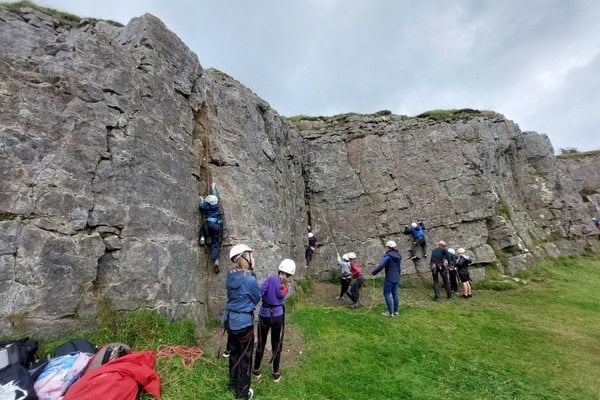
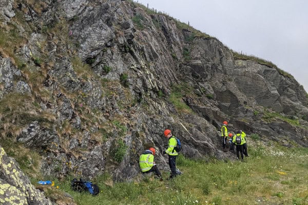
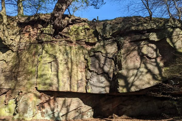
Geological exposures
The Blencathra area provides access to a range of geological features associated with the Skiddaw Group. Rock exposures and landscape form support geological fieldwork investigating rock type, structure and the relationship between geology and landform.


Additional local upland ssites
Further upland locations within the northern Lake District are reachable by short journeys where extended or comparative fieldwork is required. These sites allow broader investigation of upland processes, land use and environmental management.
How fieldwork is conducted at Blencathra
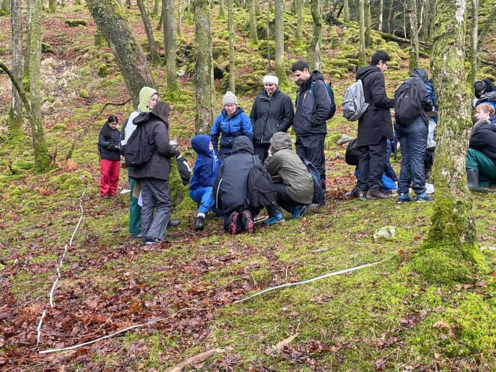
Fieldwork at Blencathra is structured around a clear route of enquiry, combining classroom learning with practical investigation in the field. Session begin with a classroom introduction where students are introduced to key concepts, terminology and fieldwork techniques. Students develop an understanding of the aims of the investigation, consider appropriate sampling methods and review risk assessments, ensuring they are prepared before entering the field.
Students then undertake fieldwork at carefully selected sites, where they apply techniques, collect primary data and make observations in real environments. This supports the development of practical skills such as measurement, sampling, identification and accurate recording.
Follow‑up sessions take place back at the centre, later in the day, enabling students to process, analyse and interpret their data. Back in the classroom, students present findings, identify patterns and apply appropriate statistical or graphical techniques. These sessions also provide opportunities to evaluate methods, consider limitations and link outcomes to theory, supporting deeper understanding.
Across a course, students progress from guided activities towards more independent enquiry. This approach builds confidence in planning, carrying out and communicating fieldwork, while developing the knowledge and skills required for geography, biology and environmental science.
Would you like to find out more?
"*" indicates required fields