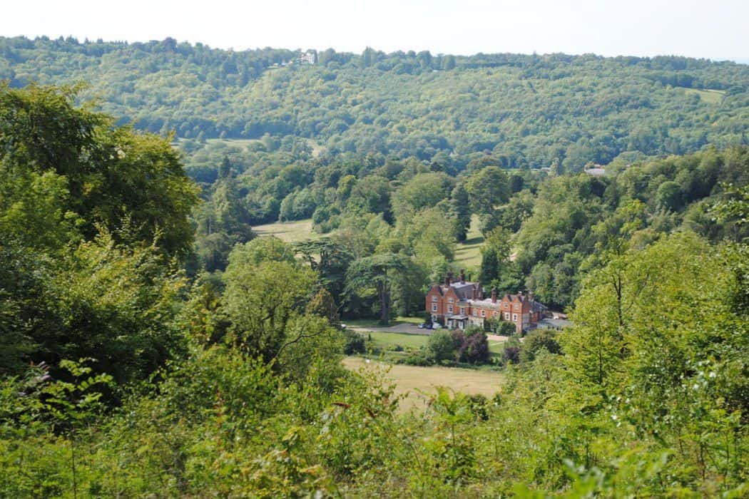
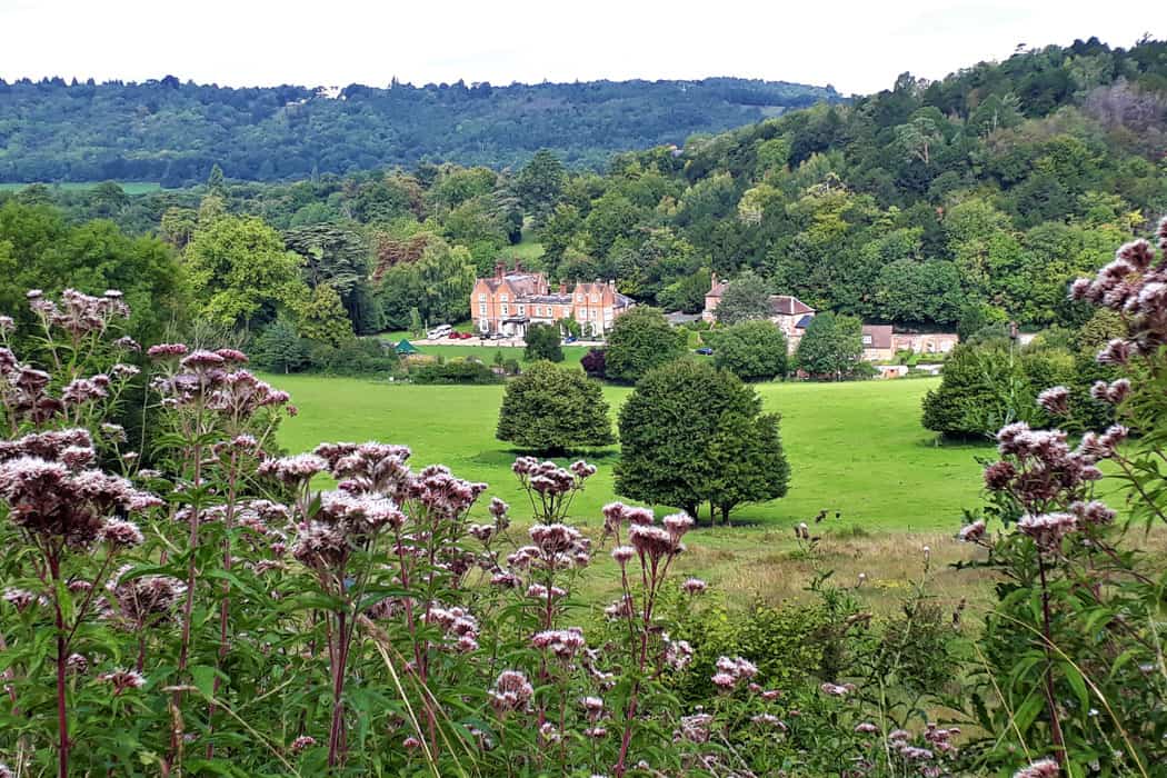
The surrounding area provides access to a wide range of contrasting environments within a short travelling distance, making Juniper Hall particularly well suited to locally based fieldwork. The centre is located next to Box Hill in Surrey and provides a base for field studies across woodland, grassland, freshwater and settlement environments, alongside coastal locations reached via short coach journeys.
Juniper Hall Field Centre offers immediate access to a varied local landscape used extensively for geography and biology fieldwork. Many fieldwork sites are reached on foot directly from the centre, while additional river, coastal and urban locations are easily incorporated into a residential programme. This compact setting allows students to spend more time investigating environments in depth and less time travelling between sites.

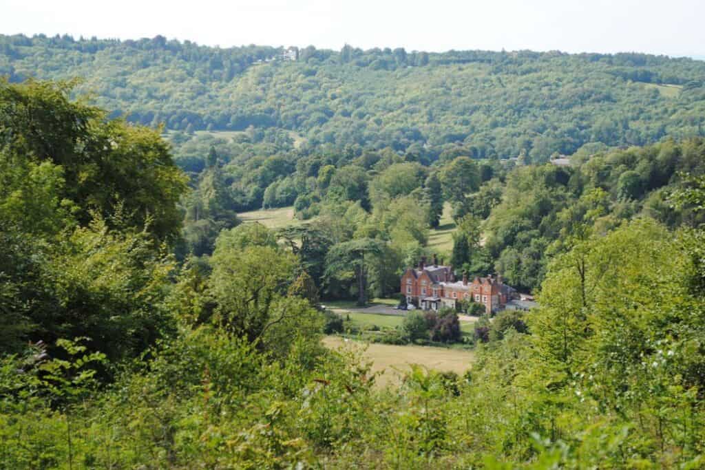
These fieldwork sites support studies in geography, biology and environmental science, enabling students to investigate physical processes, environmental systems and human activity through first‑hand data collection. The close proximity of river valleys, woodland, chalk landscapes and nearby settlements allows students to carry out focused enquiry and repeated investigation within a single residential.
Explore the field sites used at Juniper Hall
An example of our sites are set out below.
*When transport is required for offsite fieldwork, additional in-course costs are incurred and clearly stated in your programme
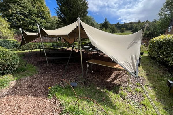
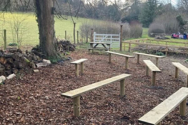
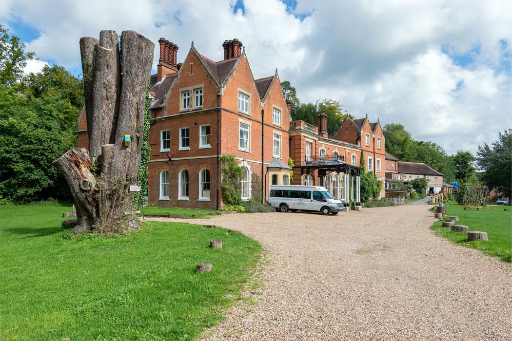
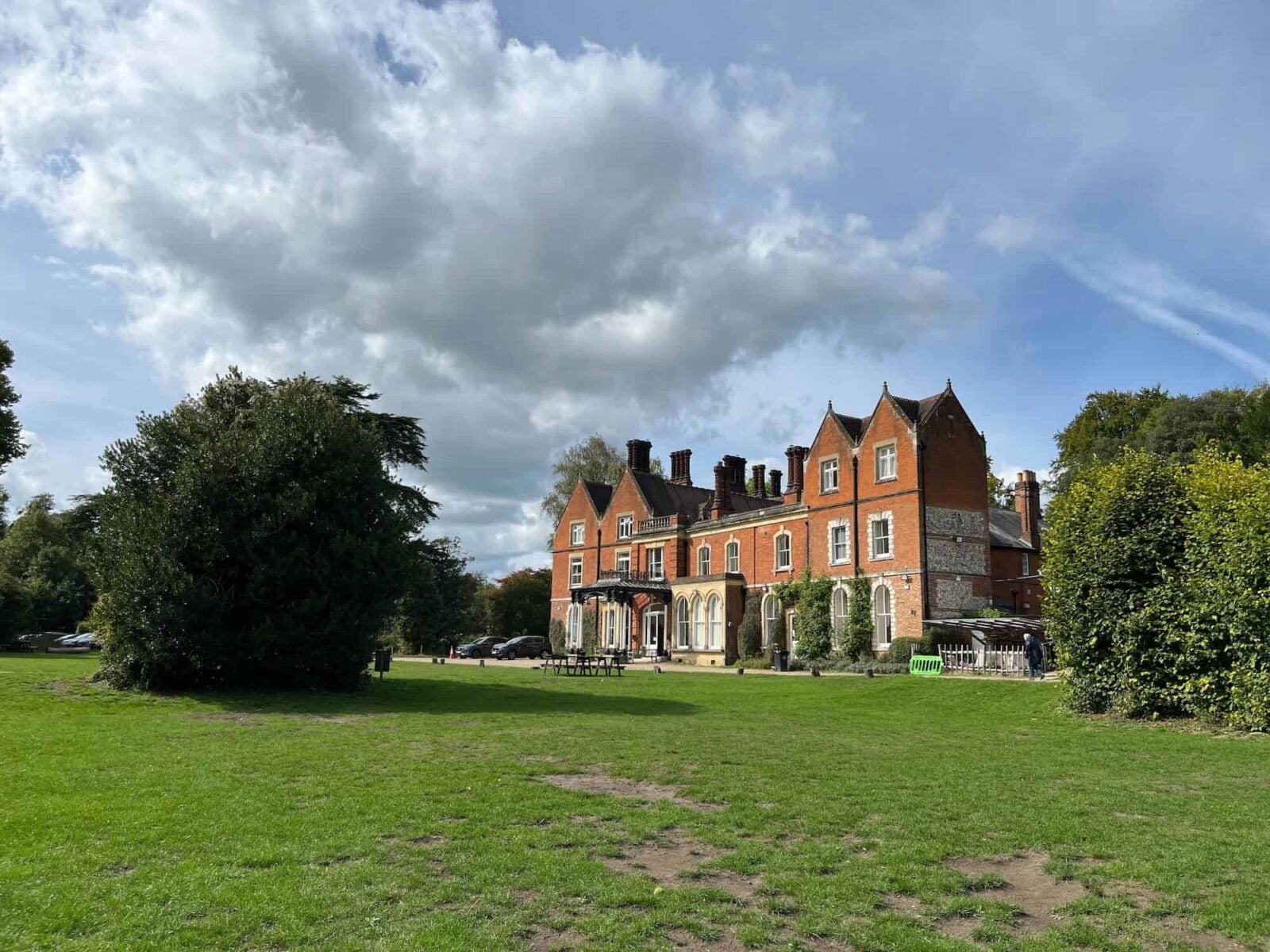
Juniper Hall centre grounds
The centre grounds include managed grassland, woodland edges and sheltered lowland areas set on chalk geology at the foot of the North Downs. These areas allow close observation of small‑scale landscape variation, ecological patterns and the way chalk substrates influence soils, drainage and vegetation.
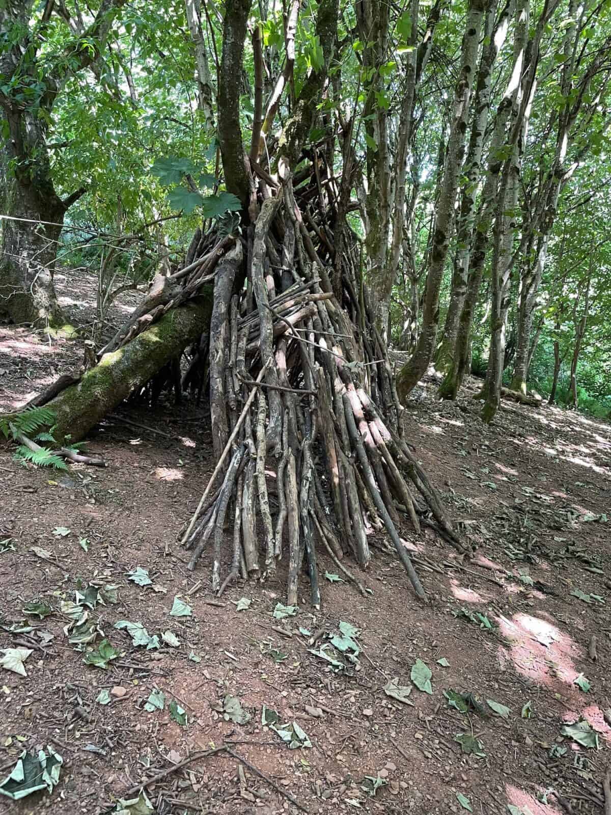
Woodland habitats
Woodland areas within the centre grounds provide opportunities to investigate terrestrial ecosystems and environmental processes. These sites are used to study vegetation structure, species distribution and ecological relationships, alongside geographical enquiry into environmental gradients such as light, soil and microclimate, and how these physical factors influence the landscape.
Grassland and open habitats
Areas of grassland within the centre grounds provide accessible sites for ecological and geographical investigation. These locations are used to study plant diversity and habitat comparison, as well as patterns of land use, environmental gradients and spatial variation. Fieldwork includes the use of quadrats and transects to collect data and analyse how physical and human factors influence distribution across the landscape.
Freshwater habitats
On-site freshwater environments provide opportunities to investigate aquatic ecosystems and physical geography processes. These sites support studies of biodiversity, water quality and ecological interactions, alongside geographical investigations into hydrology, environmental systems and human impact on water environments. Students collect and analyse data to understand how physical processes and management influence freshwater systems.
Lodge Hill
Lodge Hill is a mixed deciduous woodland developed on chalk soils within the North Downs escarpment. The site demonstrates how woodland structure, species diversity and light levels relate directly to shallow calcareous soils and underlying chalk bedrock.
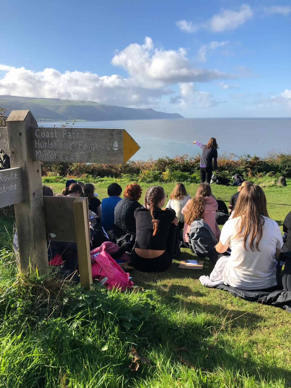
Box Hill
Box Hill is a prominent chalk escarpment with steep slopes, thin soils and extensive open downland. The landscape highlights interactions between relief, grassland ecology, erosion processes and the physical limitations imposed by chalk geology.
Burford Spur
Burford Spur is an exposed chalk grassland slope shaped by grazing pressure, footpath use and surface runoff. It shows clear links between slope angle, vegetation stress, soil compaction and shallow chalk substrates.
Mickleham Downs
Mickleham Downs forms a broad chalk plateau with areas of grassland and woodland margins. The site illustrates gradual changes in vegetation, soils and drainage patterns related to chalk geology and long‑term land management.
River Tillingbourne
The River Tillingbourne is a small lowland chalk stream flowing through woodland and pasture in a narrow valley. Its clear channel form and gravel bed link freshwater habitats with permeable chalk geology and valley development.
Dorking
Dorking is a market town situated within the Mole Valley at the base of the chalk escarpment. Its layout reflects valley geography, surrounding habitats and the constraints created by chalk and clay geology.
Leatherhead
Leatherhead is a larger town located along the River Mole corridor. The settlement provides contrast in urban scale while retaining clear links between river processes, urban ecology and underlying valley geology.
“We were thoroughly impressed with the planning preparation and delivery of of A Level Environmental Science fieldwork. Simon’s knowledge and expertise were an inspiration to our students.”
– Teacher, St John Payne 2025
Ashtead and Brockham
Ashtead and Brockham are rural and semi‑rural settlements located on the chalk margins of the North Downs. These villages illustrate relationships between rural land use, surrounding ecosystems and chalk landscape structure.
Guildford
Guildford is a major urban centre positioned at the edge of the Surrey Hills. Its development reflects river valley geography, modified ecosystems and the influence of bedrock and superficial geology on urban expansion.
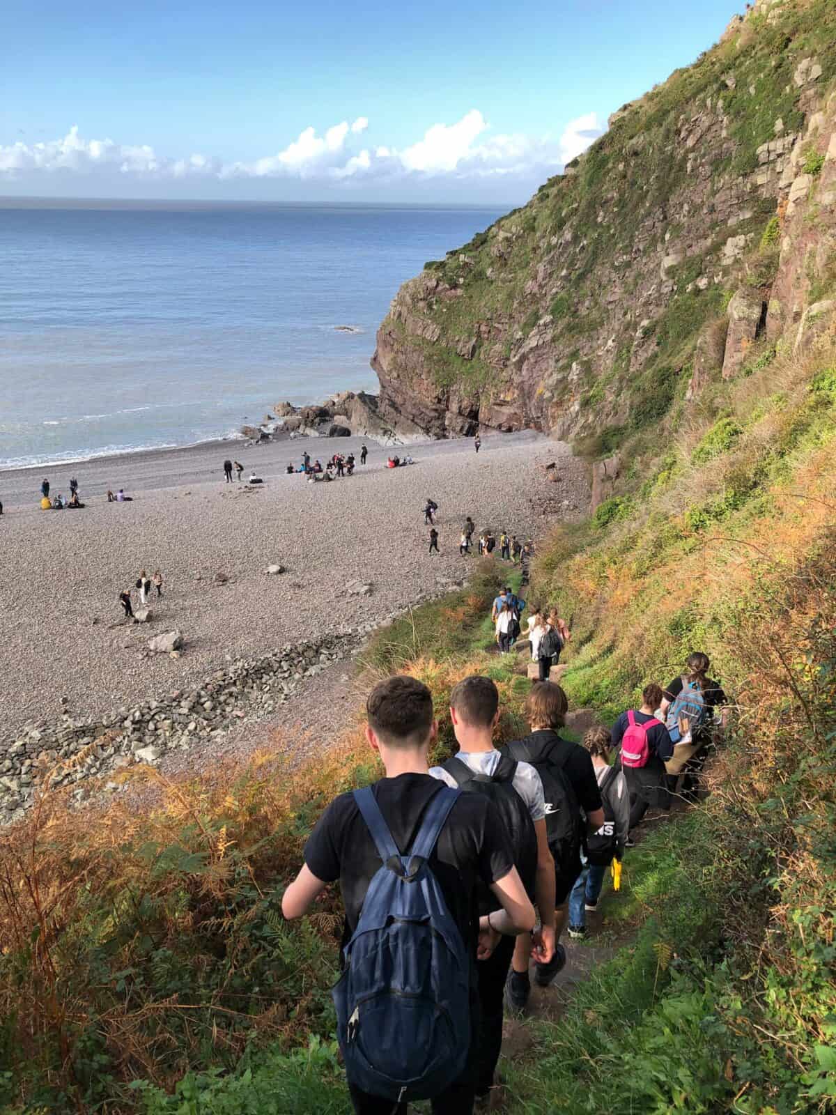
Seaford and Newhaven
Seaford and Newhaven are coastal towns characterised by cliffs, beaches and managed shorelines. These sites link coastal landforms and sediment movement with intertidal ecosystems and bedrock‑controlled cliff profiles.
Pagham Harbour
Pagham Harbour is a low‑energy coastal wetland with developing salt marsh and mudflat environments. It connects sedimentation and coastal processes with halophytic plant communities over fine marine deposits.
Together, these field sites support studies in geography and biology, enabling students to carry out first‑hand data collection and apply core fieldwork skills across a range of environments. The combination of on‑site, local and short‑travel locations allows students to explore environmental processes, spatial variation and human–environment interactions at multiple scales within a single fieldwork programme.
How fieldwork is conducted at Juniper Hall
Fieldwork at Juniper Hall is structured around a clear route of enquiry, combining classroom learning with practical investigation in the field. Session begin with a classroom introduction where students are introduced to key concepts, terminology and fieldwork techniques. Students develop an understanding of the aims of the investigation, consider appropriate sampling methods and review risk assessments, ensuring they are prepared before entering the field.
Students then undertake fieldwork at carefully selected sites, where they apply techniques, collect primary data and make observations in real environments. This supports the development of practical skills such as measurement, sampling, identification and accurate recording.
Follow‑up sessions take place back at the centre, later in the day, enabling students to process, analyse and interpret their data. Back in the classroom, students present findings, identify patterns and apply appropriate statistical or graphical techniques. These sessions also provide opportunities to evaluate methods, consider limitations and link outcomes to theory, supporting deeper understanding.
Across a course, students progress from guided activities towards more independent enquiry. This approach builds confidence in planning, carrying out and communicating fieldwork, while developing the knowledge and skills required for geography, biology and environmental science.