
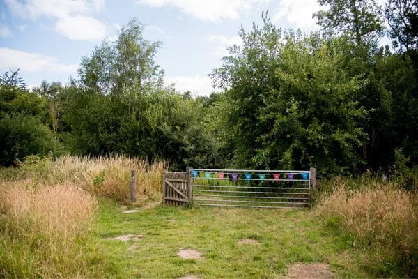
The area surrounding Preston Montford provides access to a wide range of contrasting lowland rural and urban environments, including river catchments, woodland, grassland, peatland, historic settlements and modern urban centres. Preston Montford Field Centre is located in Shropshire, set within extensive grounds beside the River Severn, with many fieldwork sites accessible directly from the centre and others reached by short journeys.
The centre provides immediate access to a managed lowland landscape shaped by river processes, land use and human activity. The centre grounds support investigation into hydrological and carbon systems, while nearby locations allow students to study urban environments, regeneration, and glacial landscapes. This combination makes Preston Montford particularly well suited to fieldwork across geography, biology and environmental science at GCSE and A level.
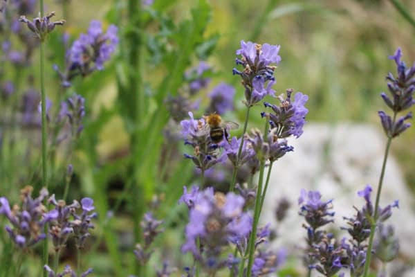
These fieldwork sites enable students to investigate physical processes, environmental systems and human–environment interactions through first‑hand data collection. The close proximity of rural, river and urban environments allows comparative investigation and repeat fieldwork within a single residential. Preston Montford is ideal for access to access into Wales and a wide variety of environments across the area.
Explore the field sites used at Preston Montford
An example of our sites are set out below. *When transport is required for offsite fieldwork, additional in-course costs are incurred and clearly stated in your programme.
Preston Montford centre grounds
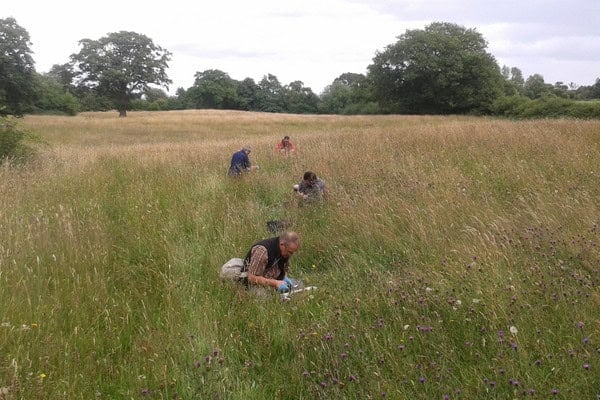
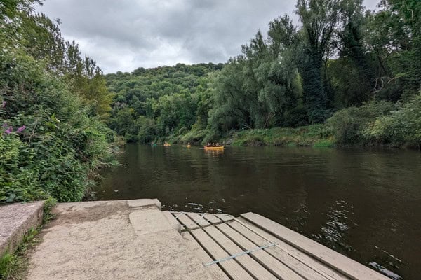
The centre grounds provide immediate access to woodland, grassland and river‑influenced environments. These sites are used for hydrology, carbon and ecological fieldwork, including quantifying water inputs and outputs, measuring biomass and investigating soil and vegetation characteristics at lowland scale.
River Severn and local sites
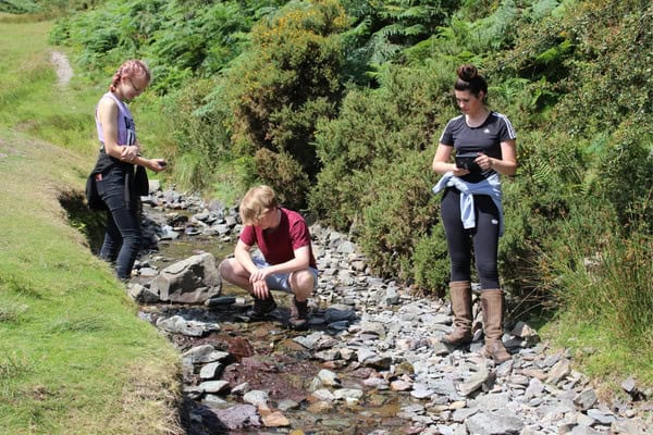
Local river environments, such as Carding mill Valley, are used to investigate water cycle processes, drainage basin characteristics and human influences on flow and storage. Fieldwork includes measuring discharge, infiltration, interception and land‑use impacts within a lowland river system.



Shrewsbury
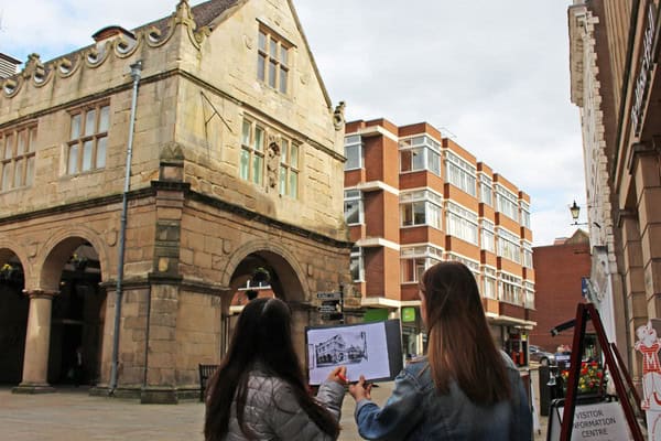
Shrewsbury is used extensively for urban fieldwork, including investigations into place, regeneration, urban microclimates and social inequality. Students collect qualitative and quantitative data using surveys, Environmental Quality Assessments, interviews and GIS to examine how people experience and manage urban environments.
Ironbridge
Ironbridge provides a strong case‑study location where students investigate changing places and regeneration. Fieldwork focuses on economic change, heritage, representation of place and lived experience, using techniques such as re‑photography, urban derives and stakeholder surveys.
Telford
Telford is used for contemporary urban environment studies, particularly social and economic inequality. Students compare contrasting areas within the town, using GIS, deprivation indices and field surveys to explore how inequality is distributed and managed.
“The course has prepared our students well for their NEA. They have been able to practice skills we don’t have the equipment of facilities for at school.”
– Teacher Outwood P16 Worksop 2025
Nesscliffe Country Park
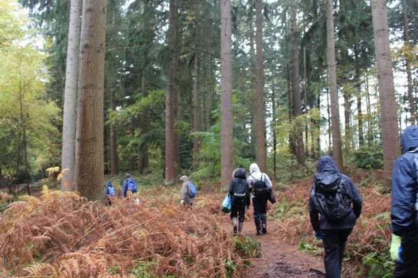
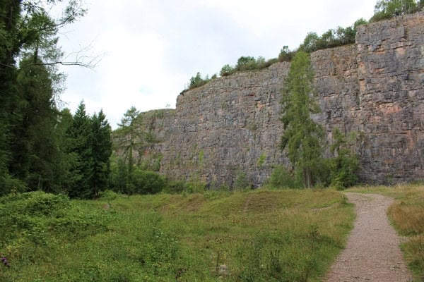
Nesscliffe Country Park provides woodland environments used primarily for carbon cycle fieldwork. Students compare biomass and carbon storage between different woodland types, linking local measurements to wider climate and carbon‑sequestration debates.
Whixall Moss National Nature Reserve
Whixall Moss is a lowland peatland used to investigate carbon sequestration, peat management and land‑use change over time. Fieldwork focuses on soil and water carbon stores and the sustainability of peatland management practices.
Long Mynd and Carding Mill Valley
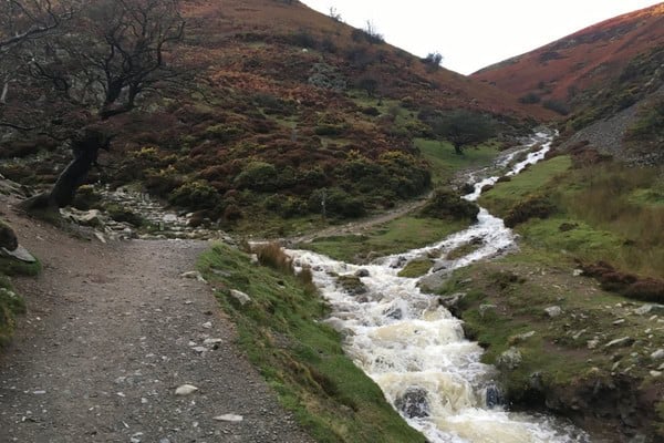
The Long Mynd provides an upland river environment used for hydrological fieldwork. Students investigate water flows, infiltration, geology, soils and vegetation, allowing comparison between upland and lowland drainage basins.
“Lizzie was a superb tutor, the pitch of the work was excellent and her high expectations of what the students could achieve were perfect for my group. Her encouragement and expertise for the students completing their independent investigation was ideal and much more specialised than I could provide at school.”
– Teacher, Crompton House School 2025
Stiperstones National Nature Reserve
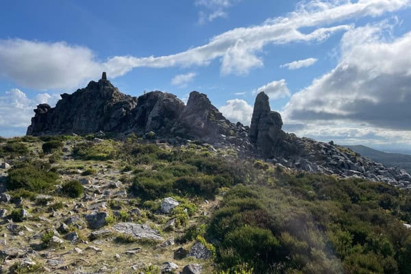
Stiperstones NNR is used for investigations into heather moorland management, succession and ecosystem services. Fieldwork here allows students to explore how management decisions influence fragile upland landscapes and biodiversity.
Talacre and Rhyl Coast
The North Wales coast at Talacre and Rhyl provides opportunities to study coastal systems, sediment movement, flooding risk and shoreline management. Students examine the interaction between natural coastal processes and human management strategies in vulnerable low‑lying environments.
Cwm Idwal, Eryri (Snowdonia)
Cwm Idwal is used for glacial fieldwork, allowing students to investigate classic erosional and depositional landforms and reconstruct past glacial environments. Fieldwork focuses on geomorphology, landscape evolution and spatial analysis using GIS.
How fieldwork is conducted at Preston Montford
Fieldwork at Preston Montford is structured around a clear route of enquiry, combining classroom learning with practical investigation in the field. Session begin with a classroom introduction where students are introduced to key concepts, terminology and fieldwork techniques. Students develop an understanding of the aims of the investigation, consider appropriate sampling methods and review risk assessments, ensuring they are prepared before entering the field.
Students then undertake fieldwork at carefully selected sites, where they apply techniques, collect primary data and make observations in real environments. This supports the development of practical skills such as measurement, sampling, identification and accurate recording.
Follow‑up sessions take place back at the centre, later in the day, enabling students to process, analyse and interpret their data. Back in the classroom, students present findings, identify patterns and apply appropriate statistical or graphical techniques. These sessions also provide opportunities to evaluate methods, consider limitations and link outcomes to theory, supporting deeper understanding.
Across a course, students progress from guided activities towards more independent enquiry. This approach builds confidence in planning, carrying out and communicating fieldwork, while developing the knowledge and skills required for geography, biology and environmental science.
Would you like to find out more?
"*" indicates required fields