Field study environments (within 1 hour of centres):
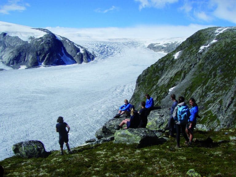
Bencathra and Castle Head Cumbria
An area with a troubled Geological past that has included explosive volcanic eruptions, continental scale mountain building, faulting and folding throughout, mineralisation and metamorphism. The dramatic impact of glaciation in this area with extensive erosion in the higher areas where mountain glaciers carved gigantic corries and knife-edged aretes from the tortured peaks. In the lower valleys and towards the margins of Lakes, deposition ruled with some classic glacial landforms.
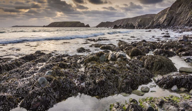
Dale Fort, Pembrokeshire
Igneous: Pillow lavas at Strumble Head, spotted dolerites of the Preseli Hills. Sedimentary: Range of marine to terrestrial deposits displaying variety of structures. Structural: Ladies’ Cave chevron fold at Saundersfoot, unconformity at Marloes Sands. Quaternary: raised beach platforms at Broadhaven, karstic weathering at Green Bridge of Wales. Fossils: cross sections of corals at Stackpole Quay, brachiopods at Marloes Sands.
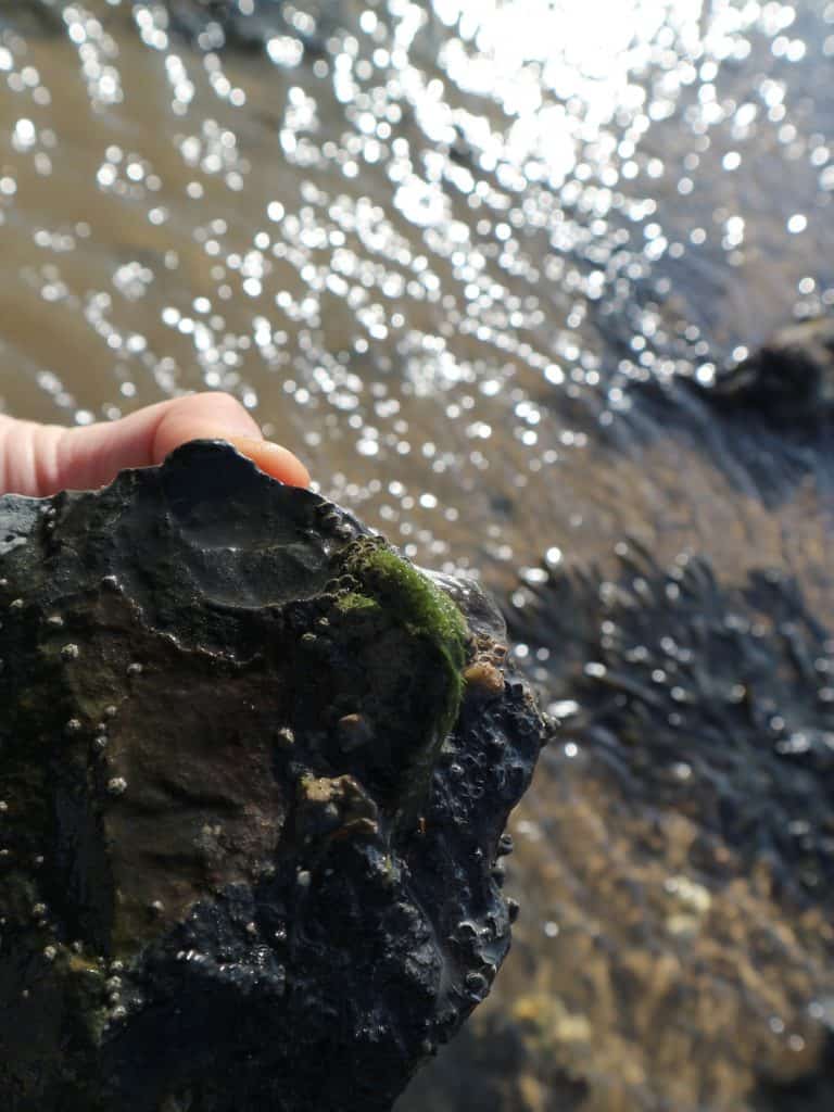
Flatford Mill, Suffolk
Coastal geology site Cudmore Grove, Walton on the Naze for Coastal geography, stratigraphy and SSSI for Fossils.
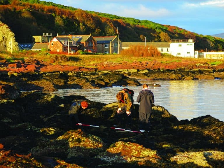
Millport, Isle of Cumbrae
Interesting geological features. Old red sandstone formations with ignaeous intrusions
Nettlecombe Court, Somerset
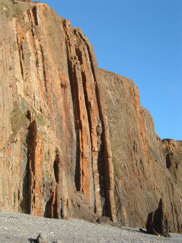
The faults at Kilve Beach, developed in Jurassic strata on the southern shores of the Bristol Channel. It was here that many ideas of fault geometry were built and tested. The bedding planes exposed on the foreshore offer outcrops of fault offsets and relay ramps on the metre-scale.
Preston Montford, Shropshire
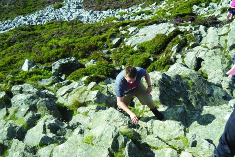
Precambrian volcanics, the tectonic plate boundary and active Church Stretton fault by Caer Caradoc and the Wrekin. Unconformity and ripples in Ercall Quarry. Fossils abound at the Silurian Ludlow Bone Beds, Whitcliffe Common and the limestone Wenlock Edge. Ordovician Quartzite tors and patterned ground at the Stiperstones NNR. Permian preserved sand dunes at Bridgenorth Hermitage. Industrial links to the geology of the Ironbridge Gorge. The meeting of 2 ice sheets has deposited till and fluvio-glacial sediments for examination at Wood Lane and Condover Quarry. Palaeocene peneplain at Clee Hill.
Rhyd-y-creuau, Snowdonia
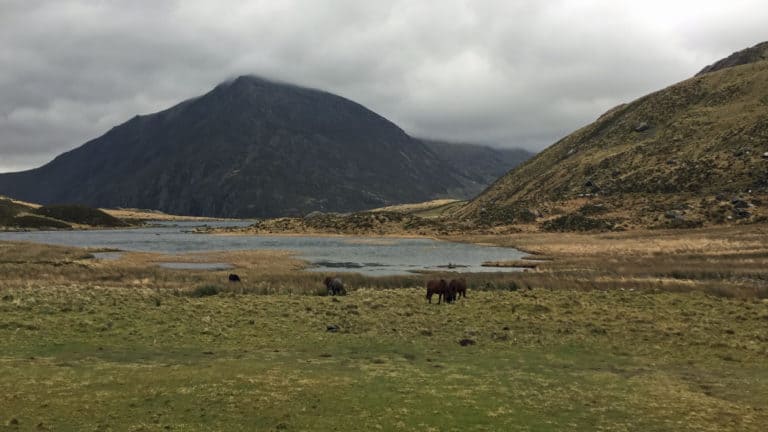
Explore a unique and inspiring post glacial landscape at Cwm Idwal National Nature Reserve, the first National Nature Reserve to be created. Learners will observe a variety of erosional and depositional landforms including corries, rock lip, roche moutonee, tarn, ribbon lake, U-shaped valley, mis-fit stream, morraine, striations, erratics, truncated spurs, hanging valleys and arete formed during the last Glacial 18,000 years ago. The National Trust, the Snowdonia National Park Authority and Natural Resources Wales work together to manage Cwm Idwal with around half a million visitors a year. The back wall of Cwm Idwal provides a cross-section of a syncline. In Cwm Idwal there are sedimentary, igneous and metamorphic rocks that were formed during the Ordovician era, around 450 million years ago. Journey down the Nant Ffrancon valley following the movement of ice north within a lowland environment. Lowland depositional features at Pentir include an Eskerand a Kame. At Aber Ogwen on the cliffs near where the river Ogwen meets the sea, varves and till deposits will be identified. At Aber Ogwen it is possible to analyse the till to intentify the origin of the deposits which form two distinct layers. Deposits here derive from Snowdonia, but also further afield.
Slapton Ley, Devon
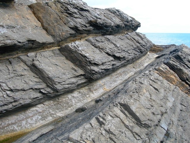
Devon has a varied and ancient geology. The uplands are dominated by the granite of Dartmoor, and the sandstones, slates and other sedimentary rocks of Exmoor. In the central belt of there are Carboniferous Culm Measures of shales and sandstones. Devonian limestone is found along parts of the south coast. The red soils to the east of Exeter come from Permian and Triassic sandstones. Cretaceous Greensand makes up the ridges of the Blackdowns and the Haldon Hills. Overlying Chalk occurs around Beer in East Devon. The Tertiary period Sticklepath Fault runs north-west to south-east across the County and caused local subsidence creating basins filled with accumulated sand, ball clay and lignite. Study periglacial features along coast of Prawle peninsula, granite in Dartmoor National Park.
