The Practical Endorsement for OCR A Level Geology requires a minimum of 12 practical activities.
In our packed 3-day course, students will complete a range of PAGs and cover course content from the seven modules of the OCR Geology specification. Students will be required to “think geologically” about unfamiliar locations and use a variety of IT software and spatial systems to collect, analyse, and present data.
Example Timetable
Day 1
Arrive Midday
Students will be greeted by staff, with a welcome talk followed by a brief tour of the centre and the local area.
- Outline of the course
- Allocation of walking boots/waterproofs, and geology field kits.
Afternoon
Introduction to the Geology of the Local Area
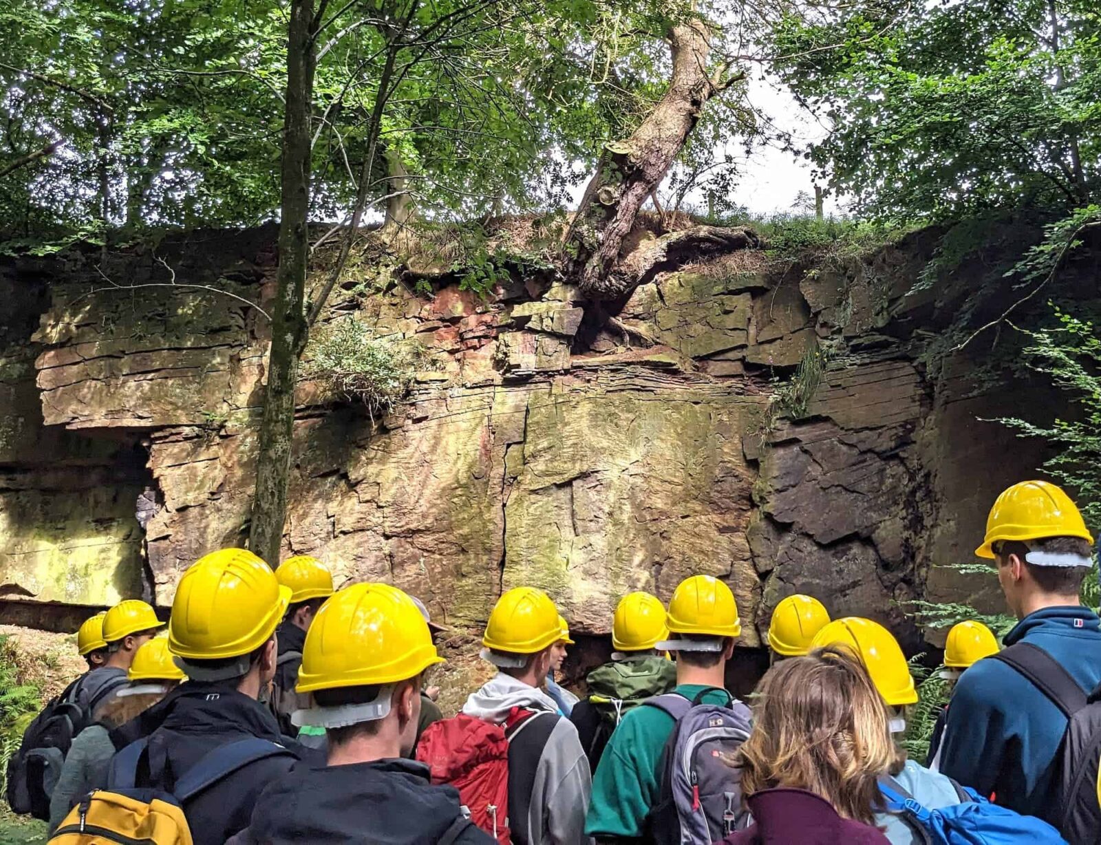
- Students will visit a local field site and immerse themselves into the local geology through observations and interpretations to build up their knowledge of the geological history of the area.
- PAGs may include: PAG 1.2, PAG 1.3
Evening
Skills Workshop and Follow Up
- Workshops may include one or a combination of the following: Quantitative analysis (e.g. statistics) / Data Presentation / Geographical Information Systems (GIS) / Using secondary research sets.
Day 2
Morning and Afternoon
Investigating Crystalline and Orogenic Processes
- Students will investigate metamorphism around an igneous intrusion, identify minerals and record a geological map of the structures and orientations.
- PAGs may include: PAG 1.2, PAG 3.3, PAG 7.3, PAG 11.3
OR
Investigating Geological Sequences
- Students will use the fieldwork; investigation skills and sampling strategies developed throughout the week to complete a mini-investigation and produce a graphic log of a geological exposure. Students will use their geological observations, structures and field sketches to interpret the geological history of the location.
- PAGs may include: PAG 6.1, 6.2, 6.3, 11.2
Evening
Skills Workshop and Follow Up
- Workshops may include one or a combination of the following: Quantitative analysis (e.g. statistics) / Data Presentation / Geographical Information Systems (GIS) / Using secondary research sets.
Day 3
Morning
Sedimentary Processes
- Students will identify sedimentary rocks and structures in the field and record orientation to interpret paleocurrent direction.
- PAGs may include: PAG 4.3
OR
Fossils in the field
- Students will identify fossils and record observations and measurements in the field.
- PAGs may include: PAG 5.3
Depart at Midday
A final farewell from our staff as the students depart at midday
Please note: to ensure safe and quality learning experiences for students, the timetable may alter depending on weather conditions and local factors at centres.
How this course fulfills the specification
Our 3-day courses will cover a selection of the following practical activities, dependent on your chosen centre and sites available.
PAG 1.2: Describing rocks
PAG 1.3: Geology on the street
PAG 3.3: Contact zone
PAG 4.1: Grain size
PAG 4.3: Sedimentary structures
PAG 5.3: Fossils in the field
PAG 6.1: Geochronology
PAG 6.2: Structural Geology
PAG 6.3: Logging a sequence
PAG 7.3: Mineralisation and metamorphism
PAG 11.2: Investigating sediments
PAG 11.3: Investigating crystalline rocks
Added value of this course
Develop skills
- Communication | Resilience | Independent thinking | Leadership
- Numeracy | Literacy | Investigative skills | Observation
Enhance Knowledge
- Ask questions.
- Apply knowledge in the real world and make links.
- Make sense of new places and understand our place and role within this.
Enjoy
- Have fun | Make friendships | Connect with nature
Why Choose Field Studies Council?
-

Expert tuition by fully trained staff
-

Stunning locations across the UK
-

Outstanding curriculum knowledge
-

Rigorous health and safety procedures
-

Support before and after your visit
-

Free places for visiting staff