
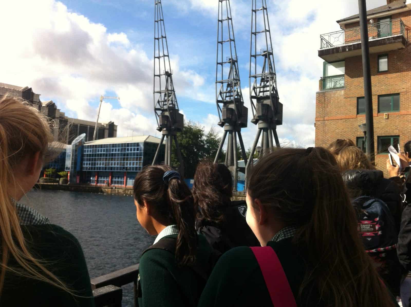
The day is designed to allow students to gain practical experience in geographical skills and techniques. Including map skills, weather and fieldwork on contrasting places.
Learning Objectives
- Develop well-evidenced geographical arguments.
- Practice using maps and grid references.
- Collect, interpret and analyse geographical data
Example Timetable
The course normally runs 10am – 3pm. There will be an approx. 30 min lunch slot, the timing will depend on the final agreed course programme.
Pre visit/prior learning
Be aware of the geographical route to enquiry. Be aware of the location to be visited and key characteristics about it.Introduction
Welcome and Introduction Setting and sharing ObjectivesMorning
Understanding maps and grid references.– Students will take part in an activity to understand grid references.
– Students will draw their own map of the local area creating appropriate symbols and key.
– Students will learn to use a compass to navigate. Using basic navigation techniques, they will do a simple orienteering exercise or trail. Weather and Climate
– Using fieldwork equipment, students will carry out a mini investigation of weather and microclimate in two contrasting locations.
Afternoon
Mini investigation: People and Place / Ecosystems (exact investigation will depend on the Centre booked)– Students will plan and carry out a mini investigation using appropriate sampling methods, fieldwork equipment and data collection.
Plenary
Analysis of the data will be carried out in the field, including drawing conclusions and evaluating their results.Depart
Future learning/follow up
The data collected can be analysed and evaluated.– Calculate results
– Present observations and data using tables and graphs
– Interpret observations and draw conclusions
– Present reasoned explanations in relation to predictions
– Evaluate data.
How this course fulfills the specification
Key Stage 3 Geography
Geographical skills and fieldwork– Build on their knowledge of globes, maps and atlases and apply and develop this knowledge routinely in the classroom and in the field
– Interpret Ordnance Survey maps in the classroom and the field, including using grid references and scale, topographical and other thematic mapping, and aerial and satellite photographs
– Use fieldwork in contrasting locations to collect, analyse and draw conclusions.
Added value of this course
Related Information
Customer Information
Details of how to book, terms and conditions, policies and procedures, including risk assessments, can be found on our website here.
Variation
The outline shown is indicative. Whilst we do our best to deliver the agreed programme, we sometimes must change the programme due to for example, weather, access to sites, or staffing issues. Most changes are insignificant and will not affect your trip.
Liaison
This programme is designed to meet the curriculum/specification requirements.
Prior to your visit, one of the Tutors leading your group will be in touch via email. This is an opportunity for us to find out more about the group and to make small adjustments to meet your groups needs.
Tuition
Tuition is delivered by Field Studies Council Tutors, with an expert knowledge of the subject and fieldwork locations, and a passion for the subject being taught. The education team are DBS checked, and undergo regular training including in first aid, water safety and risk assessments.
Transport
There is no requirement for transport during the day. All activities take place on site or within walking distance.
Teaching groups
Your group will be divided into an agreed number of taught groups at the point of booking. This may not match your normal classes. Please subdivide the taught group into subgroups in advance of your visit, discuss with the Tutor at liaison how many subgroups are required.
Teachers and supporting adults
The school should provide teachers and support staff, or parents, to meet minimum ratios per teaching group. Teachers and adults are expected to participate and support the student’s learning. Teachers are expected to manage behaviour & support group management, and to supervise break and lunch times.
What to bring
A kit list can be found on our website here. Please adjust this based on the weather conditions. Ensure the group bring lunch and plenty to drink.
Clothing and footwear
Appropriate outdoor clothing (and waterproofs) should be worn, taking into account the weather forecast. The group will be outside most of the day, even in wet weather. It is advised that long trousers are worn, even on sunny days due to the presence of ticks. We advise wearing sensible footwear – trainers or walking boots that can get muddy.
Why Choose Field Studies Council?
-

Expert tuition by fully trained staff
-

Stunning locations across the UK
-

Outstanding curriculum knowledge
-

Rigorous health and safety procedures
-

Support before and after your visit
-

Free places for visiting staff