- Prepare students for the A level independent investigation.
- A skill based course designed to showcase a variety of fieldwork data collection methods in two contrasting environments.
- Designed for students who will be collecting independent investigation data back in their local place, after the field course has ended.
- Enable students to begin to develop the skills needed to undertake the Independent Investigation worth 20% of the A Level.
Please note: This course has not been created for students to independently design their investigation, nor to collect their fieldwork data for write up.
Example Timetable
Day 1
Afternoon
- Introduction to the centre.
- Allocation of wellies/waterproofs.
Environment 1: Physical
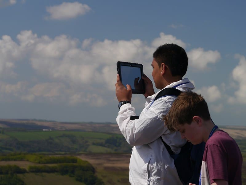
During this session students will visit a local environment and through hands on activities be introduced to a variety of quantitative and qualitative fieldwork methods. Students will explore probability sampling strategies (systematic, stratified and random). Students will develop skills that allow themes of investigation to be taken from the landscape.
Evening
GIS and Research Workshop
Students will explore the role that Geographical Information Systems can play in their investigation, as well as uncovering sources of secondary data sources, and critically reflecting on the usefulness of these sources. Using GIS students will develop skills in presenting and analysing data using GIS.
Day 2
Morning and Afternoon
Environment 2: Human
During this sessions students will visit a local environment. Through observation, participation and exploration students will develop an understanding of reading a human settlement and considering themes of investigation. Students will be introduced to a variety of quantitative and qualitative fieldwork methods and explore non-probability sampling strategies.
Evening
Statistics Workshop
During this evening session, students will be introduced to a selection of possible statistical techniques and explore how these can be useful in a research project. Data Presentation and Analysis Students will trial and reflect on methods of presenting and analysing qualitative and quantitative geographical information.
Data Presentation and Analysis
Students will trial and reflect on methods of presenting and analysing qualitative and quantitative geographical information.
Day 3
Morning
Developing potential ideas for investigation
Using activities that draw on the observations, research, methods and own geographical knowledge students will develop a range of personal potential ideas for investigation back in their local place. Students will then explore what makes a “good” enquiry and develop skills to help students refine their investigation ideas; before developing a investigation work plan, that will aid students when they return to school.
Depart at Midday
A final farewell from FSC staff as the students depart at midday
Please note: to ensure safe and quality learning experiences for students, the timetable may alter depending on weather conditions and local factors at centres.
Added value of this course
Develop skills
- Communication | Resilience | Independent thinking | Leadership
- Numeracy | Literacy | Investigative skills | Observation
Enhance Knowledge
- Ask questions.
- Apply knowledge in the real world and make links.
- Make sense of new places and understand our place and role within this.
Enjoy
- Have fun | Make friendships | Connect with nature
Why Choose Field Studies Council?
-

Expert tuition by fully trained staff
-

Stunning locations across the UK
-

Outstanding curriculum knowledge
-

Rigorous health and safety procedures
-

Support before and after your visit
-

Free places for visiting staff