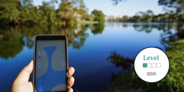
During this QGIS course, you will be introduced to the fundamental concepts of GIS and how to use QGIS as an exciting tool to explore biological records and ecological data!
Formerly known as Quantum GIS, QGIS is a freely available open-source Geographic Information System (GIS) of the highest quality.
Thanks to a community of dedicated and talented developers and an active and vocal user community, QGIS matches the functionality and usability of commercial products like MapInfo and ArcGIS. An increasing number of ecologists and biological recorders are using QGIS to help them visualise, explore and analyse their spatial data.
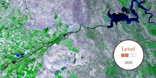
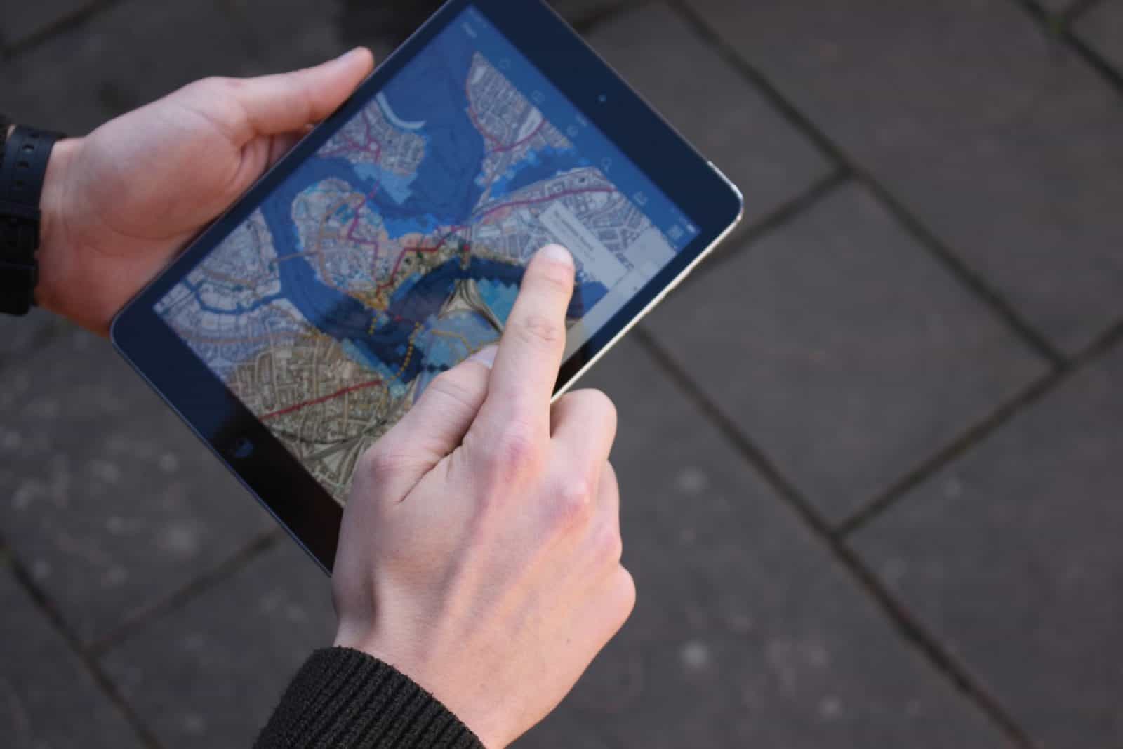
You will explore options for obtaining and displaying basemap data (e.g. Ordnance Survey basemaps and Google and Bing aerial imagery), accessing other free value-added data, e.g. via web services, capturing spatial data including that generated by GPS smart-phone apps or hand-held GPS, registering and manipulating raster data, and producing maps for reports or for display on the web. You will explore advanced use of the Field Studies Council QGIS plugin and various methods of data synthesis, display and analysis, will be introduced.
By the end of the course you should feel that you have an in-depth understanding of the range of capabilities of QGIS and the ways it can help you in your work. You will have gained considerable experience of carrying out some of the most important spatial data generation and management tasks with QGIS.
Tutor: Dan Carpenter
Dan Carpenter is an ecologist and environmental data scientist. I am interested in using environmental data to support evidence-based decision making. I think good data are the foundations of good decisions and much of my work is about turning good data into evidence to support those decisions. I have a general interest in natural history, with specific interests in soil organisms, plant galls and habitats. I set up the Earthworm Society of Britain during my post-doc at the Natural History Museum, and I have run survey programmes for barn owls, amphibians and veteran trees. Dan uses GIS daily and has a wide range of experience in mapping and spatial data analysis. He has taught GIS courses to biological recorders in his previous role at the Thames Valley Environmental Records Centre.
Example Timetable
Example Timetable
This timetable is subject to change but should give an outline of what to expect.
If you have booked accommodation with the centre your bedroom will be ready from 3.00 pm onwards on the day of arrival and we ask that you vacate by 9.30 am on the morning of departure.
If numbers are sufficient a station pick up will be arranged at 5.30 pm from Shrewsbury Station.
Please arrive in time for the evening meal at 6.30 pm on the Friday
The course starts after dinner with a classroom session 7.30 pm - 9.00 pm
The course ends at 4.00 pm on the final day.
Time will be made available for eating packed lunches during the day.
Friday:
Introduction and basics.
Saturday:
Sourcing and viewing map data.
Sunday:
Creating and capturing map layers.
Monday:
Analysis and exercise.
What's Included
-
 Expert Tuition
 -
 Free Wi-Fi
 -
 Hot and Cold Drinks
 -
 In Course Transport
 -
 Picnic Lunch
What’s included?
- Classroom learning covering the theory of the subject
- Field excursions to apply new knowledge
- Expert tuition for which we are renowned
- Clear objectives and progression
- All meals provided
You can rest assured that the absolute best content from an expert in environmental education will be provided. In choosing this course, you will be joining thousands of people who learn with us each year.
Before You Attend
There will be a member of staff with first aid training and access to a first aid kit on site. If you have special medical or access requirements, please let us know as soon as possible so we can make any necessary adjustments.
What to Bring
- A computer pre-installed with the latest ‘long-term-release’ of QGIS and with wifi capability.
- Notebook and pencil
- Camera to capture images
- Sensible footwear and clothing for being outdoors
Sorry this course booking is closed