Discover more as you learn about QGIS and improve your skills on our beginner to advanced courses.
We run regular QGIS courses throughout the year delivered online and UK wide by expert tutors and follow a framework to progress your learning at a level to suit you.
Having the ability to use QGIS is a valuable skill to have in the environmental sector, as well as essential in many others. Our online introductory and beginner QGIS training courses are perfect to introduce the fundamentals to complete beginners. Our more advanced 4 day course ‘QGIS’ will take your knowledge further, providing you with invaluable skills including the ability to analyse data in QGIS and produce high quality maps.
What is QGIS?
Geographical Information Systems (GIS) underpin much of our modern life, from navigation to social media. The ability to gather, manage and analyse spatial data is an incredibly useful ability to have, applicable in many circumstances, and a great addition to your CV!.
Formerly known as Quantum GIS, QGIS is a freely available open-source Geographic Information System (GIS) of the highest quality. This means QGIS is a voluntary collaboration thanks to a community of dedicated and talented developers and an active and vocal user community. QGIS matches the functionality and usability of commercial products like MapInfo and ArcGIS.
The Free and Open Source Geographic Information System can be downloaded here
Who is QGIS for?
An increasing number of ecologists and biological recorders are using QGIS to help them visualise, explore and analyse their spatial data. Though the system is also used by rangers, ecologists, and conservationists, geographers, geologists, biologists and social science contributors. Our courses introduce how to use QGIS as a generic tool but the context is environmental.
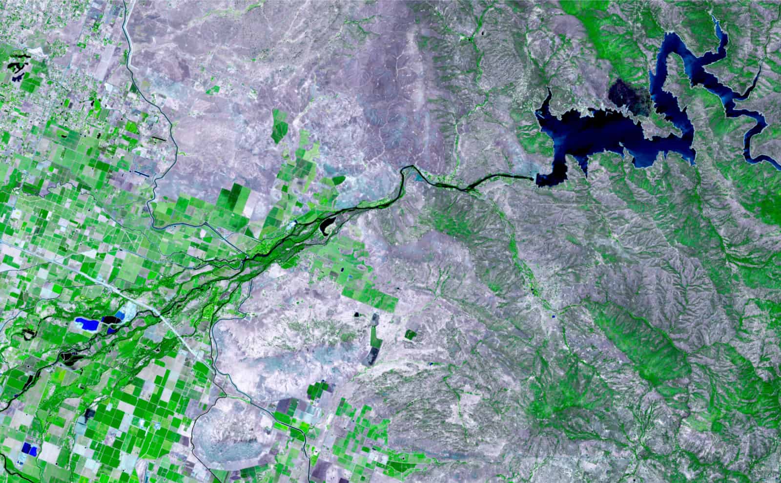
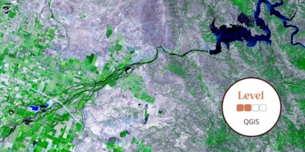
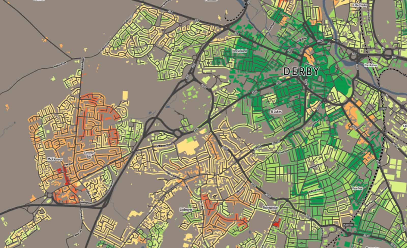
Maps are a powerful technique for representing spatial relationships, but they can take a long time to draw by hand. GIS software can quickly draw a range of maps from your data, making it easy to pick the most appropriate map for your enquiry, data type and location.


QGIS Courses
Among the skills and experience you can obtain, our courses cover the practical introduction to the use of QGIS to create and map data, learning how to apply basic style changes to layers, and create re-useable map templates, the use of QGIS to create and map data building , and understand the different fundamental types of vector data.
Each GIS course is structured to ensure you are able to build your knowledge, working towards gaining an understanding and practical working experience. Courses are taught by passionate experienced experts including:
Our QGIS courses are delivered by experts in the field, and will equip you with the skills to use the platform independantly in the fields. Our QGIS courses welcome anyone with an interest in learning how to use the software, whilst the intermediate courses are better placed for those who already have a basic working knowledge.
Training is led by expert tutors who are passionate about the subject. Taking place at venues across the UK, or online, our courses are designed to progress your learning at a level to suit your needs. If you are interested in our QGIS online training, you can read about our Moodle learning environment.
Each course is part of a learning framework. You can see the course level descriptions here. Natural history courses are available at all levels from beginner through to professional training.
QGIS Resources
Using GIS in geographical enquiry is a fast desktop guide for secondary Geography students. Using GIS was developed in partnership with Geographical Association and Esri-UK.