
This course is designed to cover the Individual Fieldwork Enquiry for the Geography 13+ Common Entrance Exam. Students will have the opportunity to use their geographical knowledge to form a clear question for the investigation. They will participate in group data collection, justifying their methods and using a range of fieldwork equipment. Opportunities will be available to use ICT for data presentation and individual research. In addition students will complete a selection of investigations, linked to the syllabus, which will support and enrich their geographical knowledge and understanding.
This immersive three-day course gives students the opportunity to experience geography first-hand while developing the fieldwork skills required for GCSE success. Working alongside experienced Field Studies Council tutors, students will investigate real geographical environments, design and carry out their own enquiries, collect and analyse primary data, and apply classroom knowledge to real-world contexts.
Throughout the course, students will build confidence in geographical investigation through a blend of practical fieldwork, digital mapping, GIS, data analysis and collaborative problem-solving. They will explore geographically significant locations, develop independent enquiry skills and gain a deeper understanding of both physical and human geography. By the end of the course, students will have completed every stage of the geographical enquiry process, from planning and data collection through to analysis, evaluation and presentation of findings.
Please note that activities may be adapted to reflect local conditions, weather and other factors, ensuring the highest quality learning experience and safe fieldwork opportunities for all participants.
Example Timetable
Students will actively explore the beautiful surroundings of the FSC learning location, using a combination of paper-based maps and digital devices. Geo-caching, orienteering and map work activities will introduce students to fieldwork and enquiry skills, laying the groundwork for the individual fieldwork enquiry.
Evening Preparing the EnquiryStudents will use internet research, GIS and other visual stimuli to research the locality for their study. They will need all their creativity and geographical knowledge to state some clear aims and hypothesis and gather the relevant background information they need for their study. They will design at least two different data collection methods and justify their choices, based on their hypothesis or enquiry questions.
Day 2Morning and Afternoon
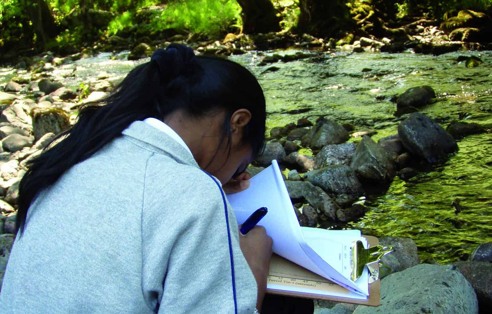
Gathering the DataStudents will be immersed in the geography of iconic locations as they collect their primary data and use it to answer their hypothesis and key questions. They will work in teams, collecting quantitative data as well as field sketches, photographs and other qualitative data. As a school group there will be a choice of:
Rivers: Geomorphological processes Landforms and processes of erosion, transportation and deposition using a downstream change investigation. Coastal: Geomorphological processes Landforms and processes of erosion, transportation and deposition using a coastal environment Coastal or River FloodingA case study of a flood; physical and human causes, impacts and ways to reduce the risks
Population and Settlement: Urban Development A case study of a completed urban development project located close to the field centre Weather and Climate An investigation into the influence of aspects, shelter, building, surface and natural features in relation to microclimates Evening Data AnalysisStudents will begin to present their data. They will be coached on different and appropriate techniques, and will have feedback on any sophisticated and innovative ways of presenting their data. Students will review the group’s findings and begin the process of understanding and examining their data, linking back to their hypotheses and key questions.
Day 3 Morning Extending the SyllabusStudents will explore a local geographically significant area, which has a dynamic issue that requires a solution. Using multiple sources of information, including a detailed site visit, students will develop a solution to the issues. They will use GIS to achieve some complex data presentation, and be introduced to multi-media applications to create engaging and professional presentations of their solutions. Issues can be based around urban, coastal, flooding or tourism areas.
Afternoon Depart at Midday Review of the course. Signposting further actions and opportunities with the FSC and beyond. Final farewell from FSC staff.Please note: to ensure safe and quality learning experiences for students, the timetable may alter depending on weather conditions and local factors at centres.
Added value of this course
Why Choose Field Studies Council?
-

Expert tuition by fully trained staff
-

Stunning locations across the UK
-

Outstanding curriculum knowledge
-

Rigorous health and safety procedures
-

Support before and after your visit
-

Free places for visiting staff