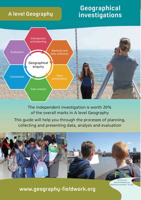
River environment
FSC River environment is a guide to carrying out geographical fieldwork on the topic of rivers.
Designed for use outside at the fieldwork site, it’s a quick reference guide for students. It reminds students of the channel geometry features to look out for. Also included is a ready-made ‘stone board’, with radius of curvature measurement chart and Power’s Shape Index guide.
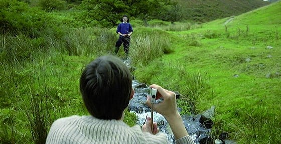
In our experience, students can be confused and disappointed when a local river does not match the textbook model. Classic river landforms like interlocking spurs and meanders are not always easy to find, especially close to towns. But all rivers fieldwork is a useful learning experience. Even a heavily engineered urban river channel still has a story to tell. What is the channel’s hydraulic radius? How does water velocity vary across the width of the channel? Is sediment building up, or is the river eroding downwards or sideways? Which places are most at risk of flooding? By focussing on the processes of water movement, erosion and deposition – rather than just hunting for special landforms – the guide will make rivers fieldwork more meaningful at a wide range of locations.