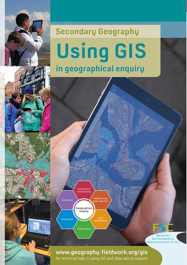

Using GIS
Using GIS in geographical enquiry is a fast desktop guide for secondary Geography students.
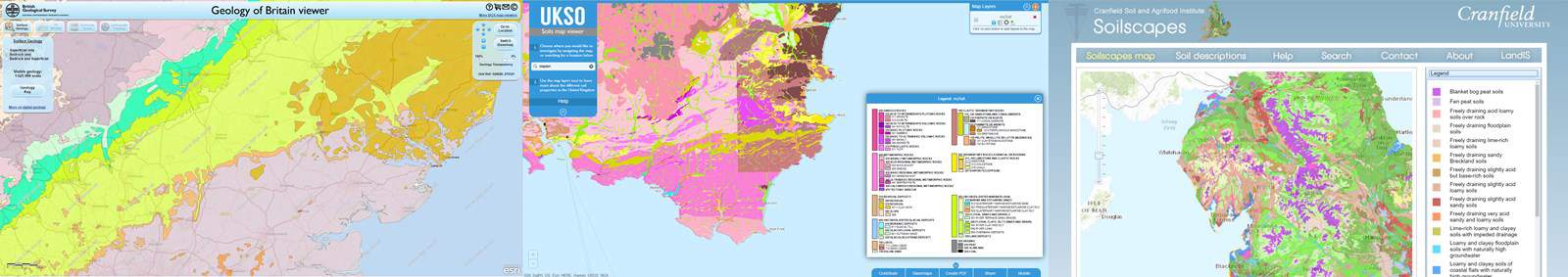
- Introduction and planning. Planning a geographical enquiry, but not sure where to begin? GIS is a great source of secondary data to help you find topics and places to investigate. No matter what your starting point, it can help you choose a location, ask enquiry questions and carry out contextualising research.
- Methods and data collection. It can help plan both where to collect data, as well as how to collect data.
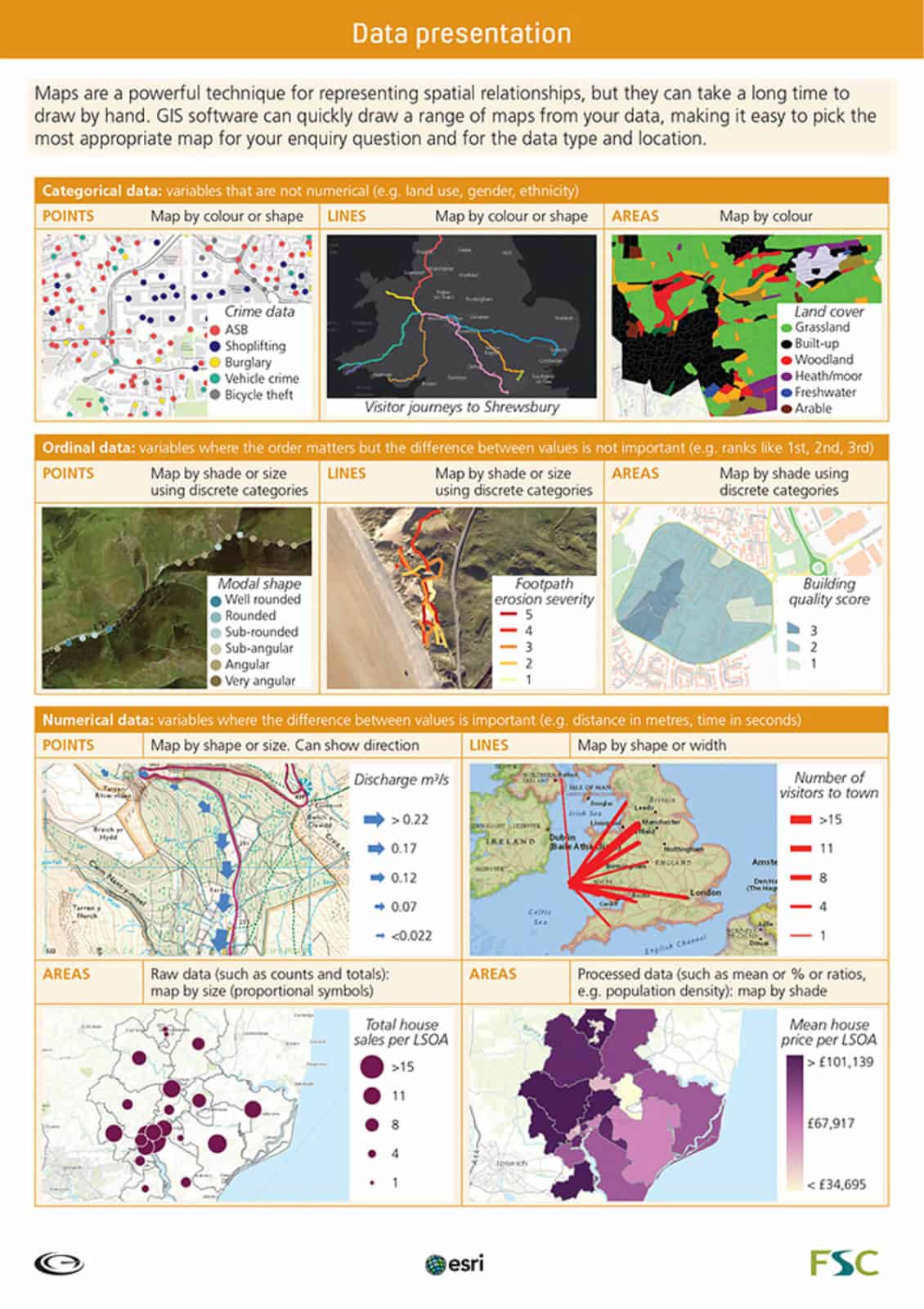
- Data presentation. Maps are a powerful medium for representing spatial relationships. But they take a long time to draw by hand. However, GIS software can quickly draw a range of maps from your data, making it easier to select the most appropriate.
- Data analysis. Trends and patterns are sometimes difficult to spot, especially when there are lots of data points. So the software has a range of useful tools to make sense of the information collected. These tools help summarise raw data, carry out calculations and find spheres of influence.
- Conclusions. When drawing conclusions, you will need to look for links between different sets of results. GIS makes this much easier, allowing you to overlay data sets onto the same base map. You can then explore the relationships within and between different layers.
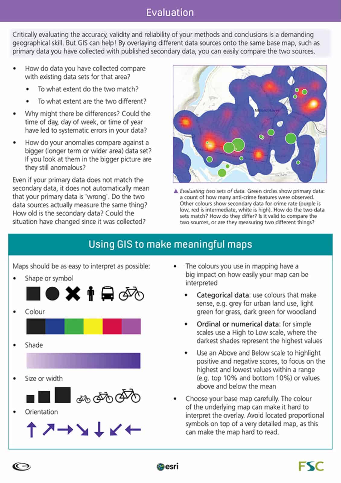
- Evaluation. Critically evaluating the accuracy, validity and reliability of your methods and conclusions is a demanding geographical skill. But by overlaying different data sources onto the same map, such as the primary data you have collected with published secondary data, you can easily compare the two sources.
Using GIS was developed in partnership with Geographical Association and Esri-UK.
Prefer to order individual charts? Single copies are also available.