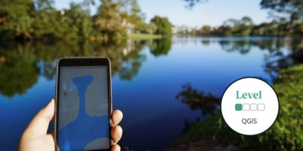
This introductory online QGIS course will introduce GIS and how it works, as well as an introduction to QGIS as an open software option.
Geographical Information Systems (GIS) underpin much of our modern life, from navigation to social media. The ability to gather, manage and analyse spatial data is an incredibly valuable skill.
During this course, there will be very little actual use of QGIS in this course, but you will learn the background knowledge to enable you to quickly get to grips with QGIS in future courses.
Level descriptors can be found on the following webpage: Framework and Course Level Descriptors
This is a 2-week online course covering 2 topics, for which you will complete a variety of self-led online study content, activities, assignments and live Zoom sessions. Time commitment is approximately 2-3 hours a week and an e-certificate is provided upon completion. Understand how our online courses are delivered.
- Please email [email protected] if you have any questions.
Tutor: Flavia Occhibove
Flavia has always been passionate about wildlife and the beauty of the earth’s diverse ecosystems. This took her on a long academic journey, which included several aspects of ecological research, and culminated in a PhD investigating the relationship between biodiversity conservation and wildlife zoonotic diseases. Since she enjoys her nerdy side, she specialised in eco-epidemiological modelling and regularly uses QGIS for her research (as well as for her lectures to undergrads). She is a supporter of open-source software. Currently, she is looking forward to start her second postdoc, after a great three years at UKCEH.
What's Included

Sorry this course booking is closed