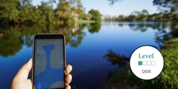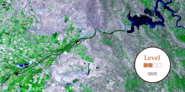
This introductory online QGIS course will introduce GIS and how it works, as well as an introduction to QGIS as an open software option.
Geographical Information Systems (GIS) underpin much of our modern life, from navigation to social media. The ability to gather, manage and analyse spatial data is an incredibly valuable skill.
During this course, there will be very little actual use of QGIS in this course, but you will learn the background knowledge to enable you to quickly get to grips with QGIS in future courses.
Level descriptors can be found on the following webpage: Framework and Course Level Descriptors
This is a 2-week online course covering 2 topics, for which you will complete a variety of self-led online study content, activities, assignments and live Zoom sessions. Time commitment is approximately 2-3 hours a week and an e-certificate is provided upon completion. Understand how our online courses are delivered.
- Please email [email protected] if you have any questions.
Tutor: Eleri Kent
Eleri Kent is a PhD student with a background in landscape ecology. She is currently researching the effects of landscape context on woodland use by bats at Stirling University, as part of which she regularly uses QGIS for data manipulation, mapping and analysis. Eleri also has a background in outdoor education which led to an interest in teaching and outreach.
Sorry this course booking is closed