This course provides an opportunity for schools with low student numbers to prepare, plan and collect data for their individual Non-Exam Assessment for A Level Geography.
Nettlecombe Court lies in a secluded valley at the eastern edge of Exmoor National Park. The house is a striking example of a Tudor and Georgian country mansion set within its own grounds, made up of heritage parkland, ancient woodland. Nettlecombe has excellent access to the Somerset coast as well as Exmoor National Park and The Quantocks National Landscape.
Small Group or Individual Student Days are designed to bring together individual students, home educated students, schools with small cohorts, or students who were unable to attend a residential or alternative trip. By bringing groups together you do not have to pay for a minimum number of students.
These courses are for groups of 9 or fewer students from any one school.
To ensure the safety of all participants on our day and residential small groups courses, any child, or group of children from an individual school or home-education group, aged under 18 years must be accompanied by a responsible adult, eg teacher or parent. Other adult learners eg mature students or those who have recently turned 18 are welcome to join the course.
The price of the course includes
- Accommodation in shared rooms (single rooms for adults where available but cannot be guaranteed
- Food from dinner on day 1 to packed lunch on day 3
- In-course transport to fieldwork sites during the course
- All course teaching
- Equipment, wellies and waterproofs if required
- Accompanying staff and adults are charged at half the student rate plus VAT
Example Timetable
Day 1
Morning
Arrive
Students will be greeted by their tutor, with a welcome talk followed by a brief tour of the centre. Allocation of wellies and waterproofs.
Afternoon
The nature and importance of places
Creswell (2008) defined place within geography as a ‘meaningful segment of geographical space’. Exploring the town of Minehead, students will be introduced to the concept of place and its importance within geography through experiential fieldwork.
Fieldwork may include: Narratives, sound mapping, field sketching, activity mapping, rephotography, emotional mapping
Secondary research: Historical and current census data, historical photographs,
Fieldwork site(s): Minehead
Evening
Introduction to qualitative data analysis
Using the data collected in the afternoon students will explore ways to present and analyse their qualitative data.
Day 2
Morning and Afternoon
Coastal systems and landscapes – Processes and landforms
An investigation into the West Somerset Coastline as a localised coastal system
Students will visit the West Somerset coastal landscape to gain detailed knowledge of the development of the coastline. By analysis of the character of the coastline they will determine possible reasons behind the development of the landform features present and the links to system processes.
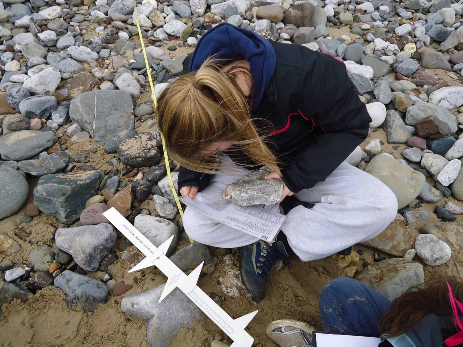
Fieldwork can include: Beach profiles, sediment analysis, field sketches, annotated photographs, cliff profiles
Secondary research: BGS Geology maps, FSC Nettlecombe long term beach profile data, Plymouth Coastal Observatory data
Field site(s): Porlock Bay (40 mins – transport required)
Evening
Geographical Skills
On return to centre:
- Chi Squared statistical test on sediment data
- Drawing cliff profiles or beach profiles.
- Evaluation of methodology and investigation process.
- Generating potential NEA questions by reviewing the day’s fieldwork
Day 3
Morning
Coastal systems and landscapes
An investigation into the shoreline management plan at Minehead
The North Devon and Somerset Coastal Advisory Group (2010) state that the touristy seaside town of Minehead is managed using a “Hold the Line” approach. After identifying a suitable hypothesis, students will select fieldwork techniques to investigate why Minehead is managed using this approach, the effectiveness of the management and the effect of the management on the natural coastline and the stakeholders.
Fieldwork can include: Flood risk mapping, bipolar evaluations, cost benefit analysis, conflict matrix, questionnaires, field sketch, annotated photographs, beach profiles
Secondary research: BGS Geology maps, Plymouth Coastal Observatory data, NDASCAG shoreline management plans, newspaper articles, Environment Agency flood risk maps.
Field site(s): Minehead (20 mins – transport required)
Afternoon and Evening
Planning fieldwork investigation
Students will be introduced to the Independent Investigation requirements and will be guided through the route to enquiry and the planning process.
Choose an area of the specification, either physical or human, to focus for the independent investigation: (large groups booking may choose two or more areas for a visit to enable students a wider range of choice of areas of study. Tutors will discuss the options for NEA data collection sites when designing your program)
Possible areas of the specification to choose to do your fieldwork skills on: Coastal systems and landscapes (Porlock Bay or Minehead)
Changing places (Minehead)
Students will be given an opportunity to start planning their Independent Investigation, developing and researching their chosen area of study and data collection methods in preparation for the data collection day. If completing a practice investigation this could be incorporated into an evening session and half day data collection.
Day 4
Morning and Afternoon
Geography fieldwork investigation
Choose an area of the specification, either physical or human, to focus for the Independent Investigation: (large groups booking may choose two or more areas for a visit to enable students a wider range of choice of areas of study. Tutors will discuss the options for NEA data collection sites when designing your program)
Possible areas of the specification to choose to do your fieldwork skills on: Coastal systems and landscapes (Minehead or Porlock Bay)
Changing places (Minehead)
Field Data Collection
During this day students will work individually or within groups, as appropriate, to collect initial primary field data. They will be supported by the FSC field teachers to review data and methods of collection as well as provide guidance on health and safety, equipment and environmental issues. Students will have opportunity to:
- Begin data collection, reflecting on and improving the methods used.
- Observe and record phenomena and data variables according to their data design framework
- Demonstrate their practical knowledge and skill in handing data collection technologies and equipment
- Build their understanding of the concepts underlying and processes operating within the real world environment
Fieldwork site(s) will be dependent on students projects and staff availability: Porlock Bay (40 mins – transport required), Minehead (20 mins – transport required).
Evening
Data Presentation
Students will collate and process their data, FSC field teachers provide support with appropriate techniques and using digital technologies to create sophisticated data presentation.
Day 5
Morning
Follow up from geography fieldwork investigation
Students will have an opportunity to start writing up the investigation including:
- Methodologies
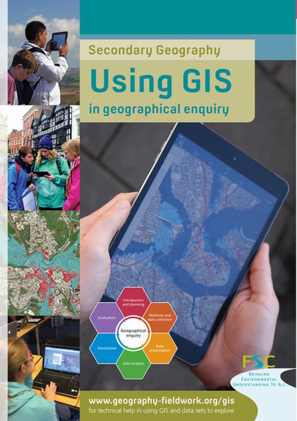
- Data presentation (including where possible use of ArcGIS)
- Data analysis (including statistics)
Course finishes at 12:30.
What's Included
-
 Expert Tuition
 -
 Free Wi-Fi
 -
 Full Board Accommodation
 -
 Hot and Cold Drinks
 -
 In Course Transport
 -
 Picnic Lunch
Opportunities to attend this course
-
Mon 09, November 2026 13:00 - Fri 13, November 2026 12:00
Sorry this course is out of stock
-
Mon 16, November 2026 13:00 - Wed 18, November 2026 12:00