Geological maps
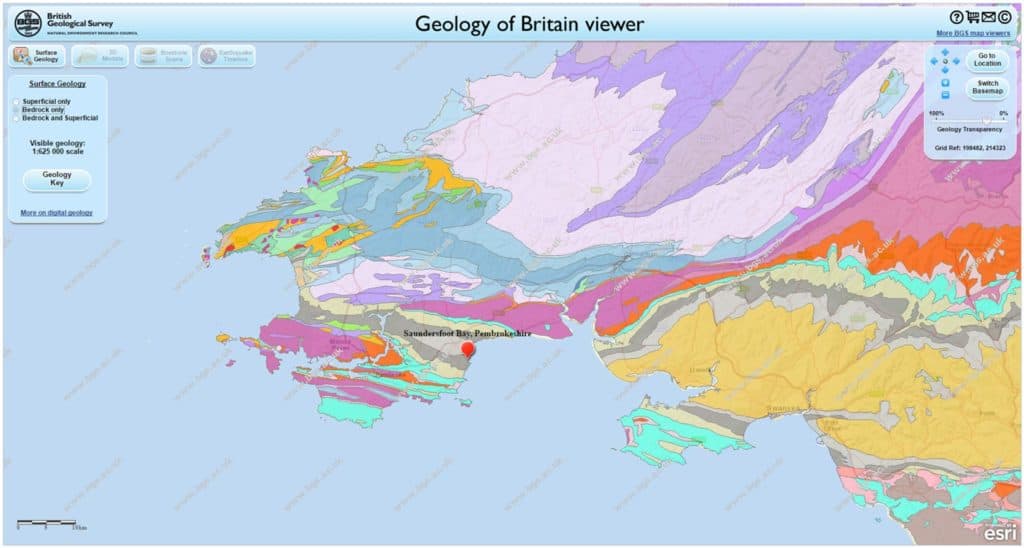
Geological maps are useful to help explain the formation of large scale coastal landforms.
The BGS Map Viewer allows students to access Bedrock and Superficial Geology Maps for the whole country.

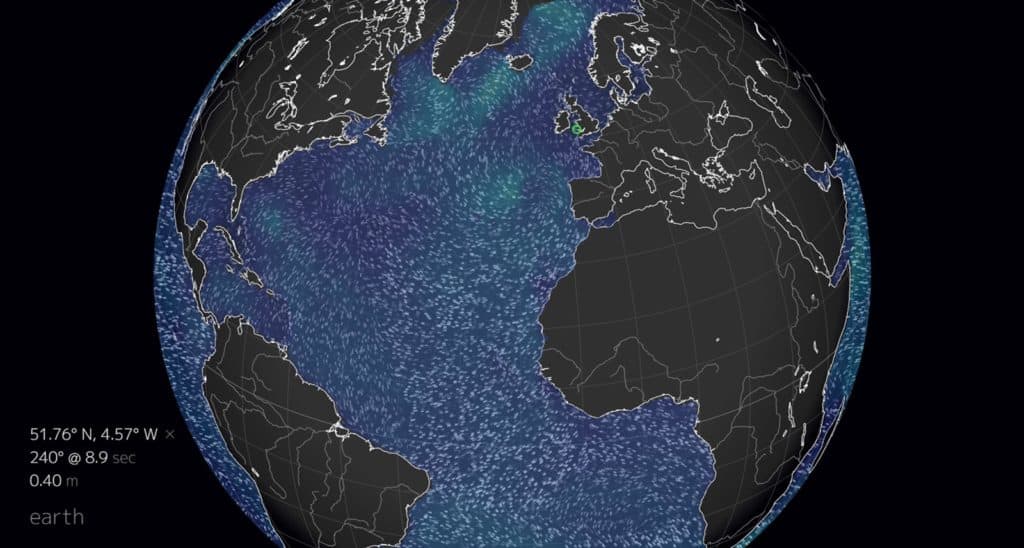
Waves
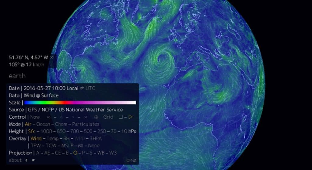
Waves are important agents of coastal change. They are strongly influenced by wind speed and direction. To understand the processes at work in a coastal area it is necessary to understand the prevailing wind direction. Earth is an interactive virtual globe showing live wind and wave maps.


Weather and climate
Met Office Regional Climate Data provides long term wind data for the various regions of the UK including wind rose diagrams for wind speed and direction.
Coastal flooding
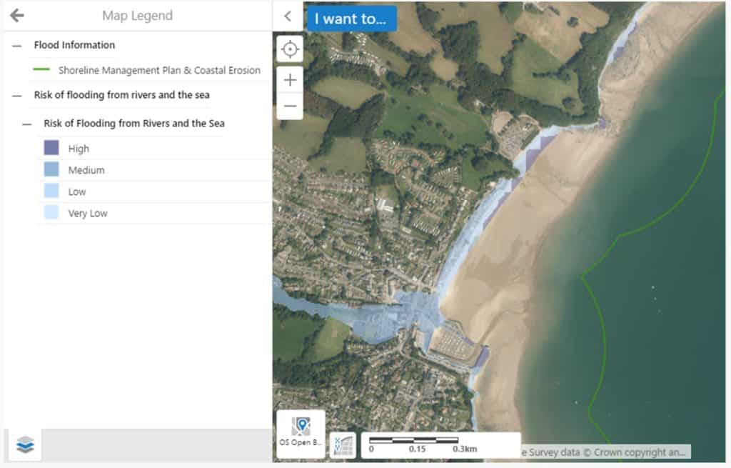
Coastal flooding is a significant hazard to many living in coastal areas.
Environment Agency (England) and National Resources Wales provide flood maps. These give details of locations at risk from coastal flooding.

Both sites also contain details about coastal defences and Shoreline Management Plans (SMPs).

Secondary and Further Education Courses
Set your students up for success with our secondary school trips and courses. Offering excellent first hand experiences for your students, all linked to the curriculum.
Group Leader and Teacher Training
Centre-based and digital courses for teachers
Experiences for Young People
Do you enjoy the natural world and being outdoors? Opportunities for Young People aged 16-25.
