Consider the carbon cycle at a local scale.
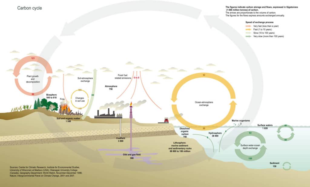
What questions do geographers ask?
You can ask geographical questions about anywhere. Photographs, map views and Google Earth views can help you. Here are some examples.
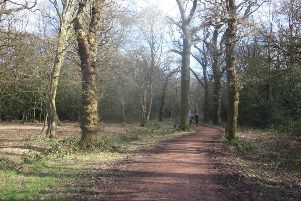
- Can you estimate the size of carbon stores in the trees, litter and deadwood in 1 square kilometre of woodland?
- Can you estimate the size of carbon fluxes in 1 square kilometre of woodland?
- What are the links between the carbon cycle and the water cycle at this location?
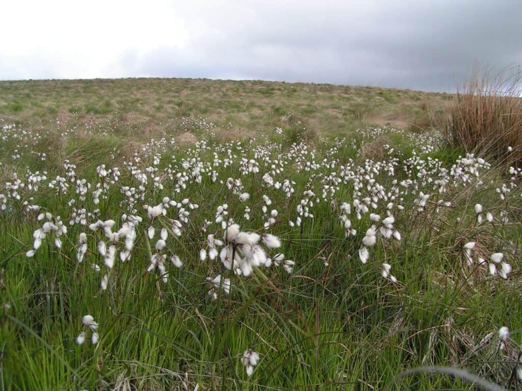
- Can you estimate the size of carbon stores and fluxes in an area of peatland?
- What is the carbon content of water draining into streams around this peatland?
- What are the links between the carbon cycle and the water cycle at this location?
The UK National Ecosystem Assessment is an up-to-date analysis of the value of the natural environment in Britain, including the carbon cycle.
What could you investigate by fieldwork?
| Research questions | Sub questions |
|---|---|
| An investigation into the stocks and fluxes of carbon in area x (e.g. a small area of woodland, an area of peat bog) | How large are the carbon stock of plants, litter and deadwood, and soil? How large are the carbon fluxes driven by processes such as photosynthesis, respiration and soil erosion? |
| Why does the rate of atmospheric carbon sequestration differ between areas x and y? (e.g. coniferous vs deciduous woodland, drained vs undrained areas of peatland) | What are the main differences between areas x and y? How large is the carbon flux driven by the process of photosynthesis in each of the two areas? Is there any evidence that the rate of atmospheric carbon squestration has changed over time? |
| What is the impact of land use change in area x (e.g. clear felling / afforestation / scrub clearance) on fluvial carbon flux? | How large are the carbon stocks and atmospheric carbon fluxes in area x and a control area which has not undergone land use change? How and why is there a difference in fluvial carbon flux between the two areas? |
Specialised geographical concepts
A good way to demonstrate challenge in your choice of research question and/or sub questions is to consider one or more of the specialised geographical concepts. Here are a few suggestions:
| Specialised concept | Research question or sub question |
|---|---|
| System | An investigation into the stocks and fluxes in the carbon cycle for a small area |
| System | Is the peatland at area x a carbon source or a carbon sink? |
| Mitigation and adaptation | How does peatland restoration at x mitigate against flooding downstream? |
Choosing a fieldwork location
Although fieldwork on the carbon cycle can be carried out anywhere, it’s best to concentrate on a small area that you can easily walk all around, such as a woodland, peat bog or heather moorland. This should help you complete a more manageable field investigation.
Woodland Trust woods are found throughout the UK, are free to visit, and are generally open-access throughout. Some of the woods are small (under 2 hectares) and fairly new (planted within the last 20 years), and will have online data on planting date and management.
Many Forestry Commission woods are also free to visit and have open access.
Secondary and Further Education Courses
Set your students up for success with our secondary school trips and courses. Offering excellent first hand experiences for your students, all linked to the curriculum.
Group Leader and Teacher Training
Centre-based and digital courses for teachers
Experiences for Young People
Do you enjoy the natural world and being outdoors? Opportunities for Young People aged 16-25.